252 | Walking the Grebbeliniepad (part 2)

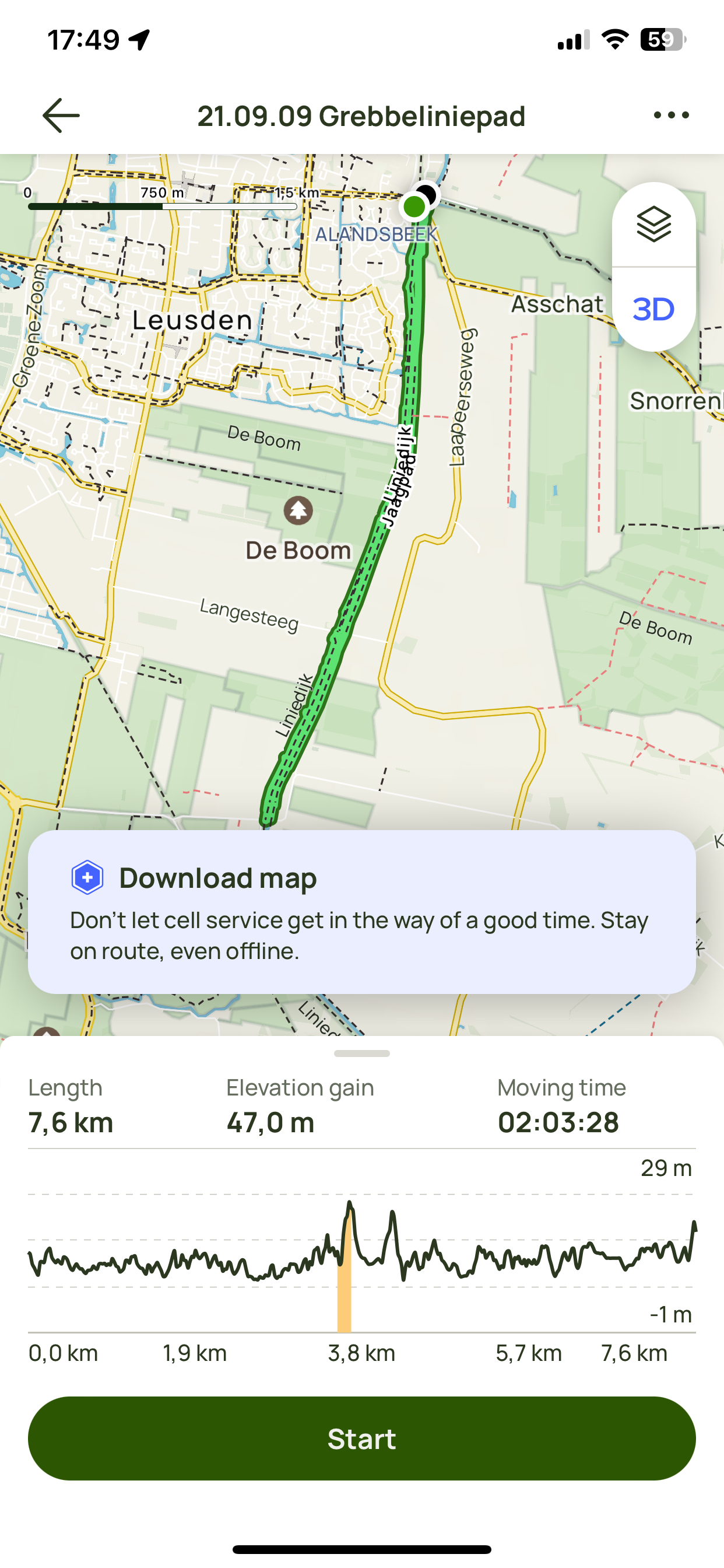
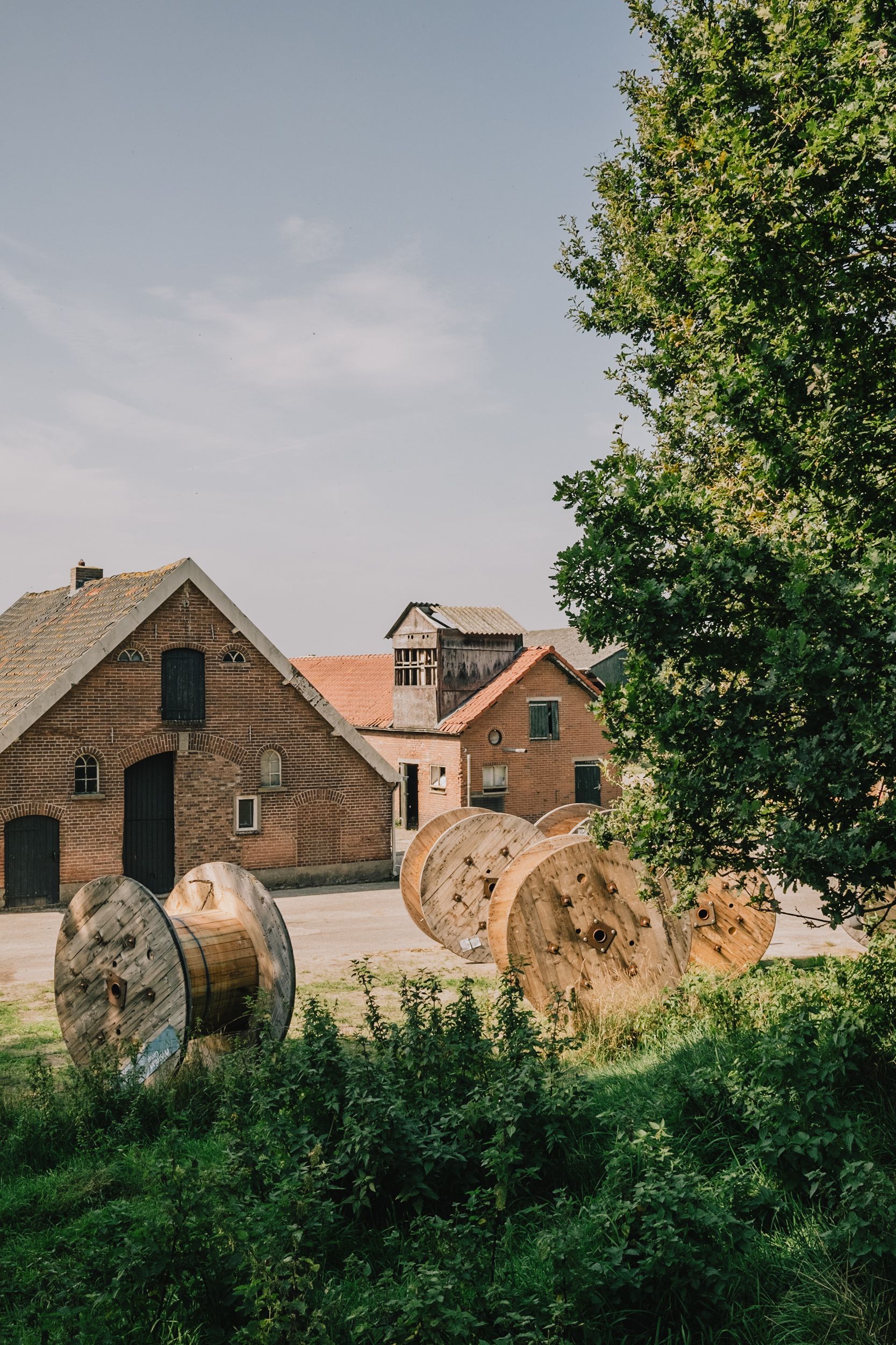
The trail called me again. So I returned to it. Furthering the walked kilometers of the official paths. I took photos and I recorded GPS data. That’s all it was. That’s all it will be. I’ll get around to creating a proper map soon but here’s a screenshot of the recorded tracks so far. Oh and a photo. Can’t forget the photo.
Subscribe to the monthly newsletter
Just you, me, and some occasional notes from the field. No spam.
Member discussion