

Table of Contents
A 91km walk through wartime landscapes and quiet nature.
About the Grebbelinie
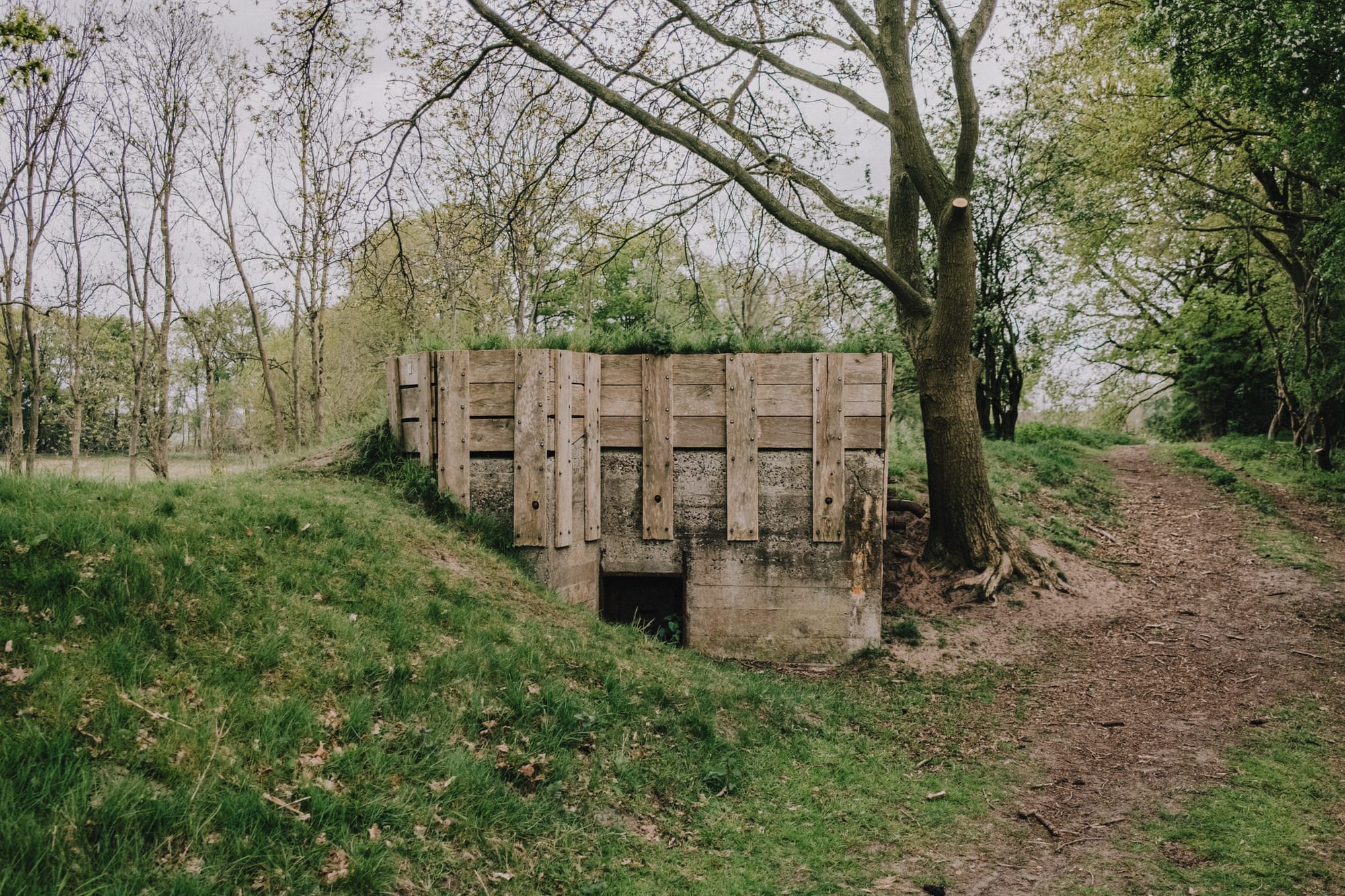
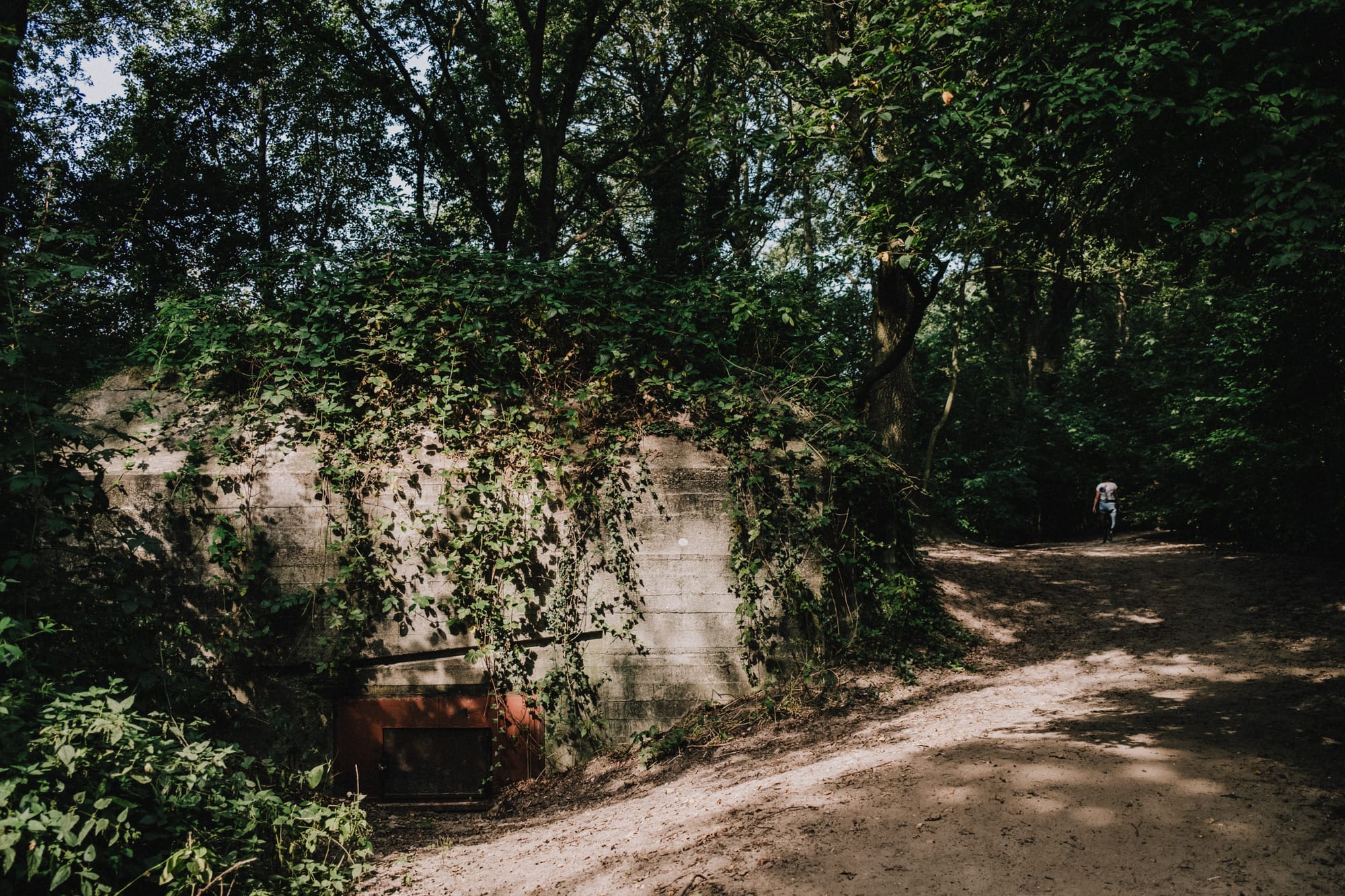
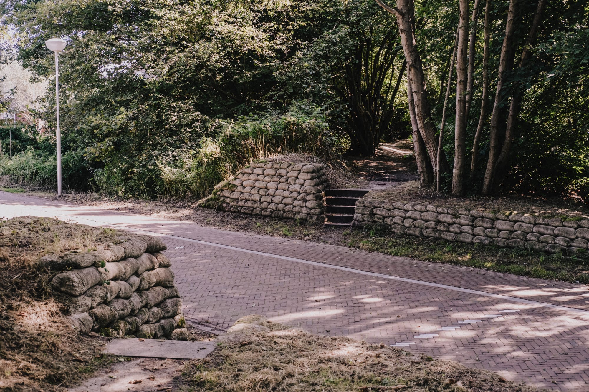
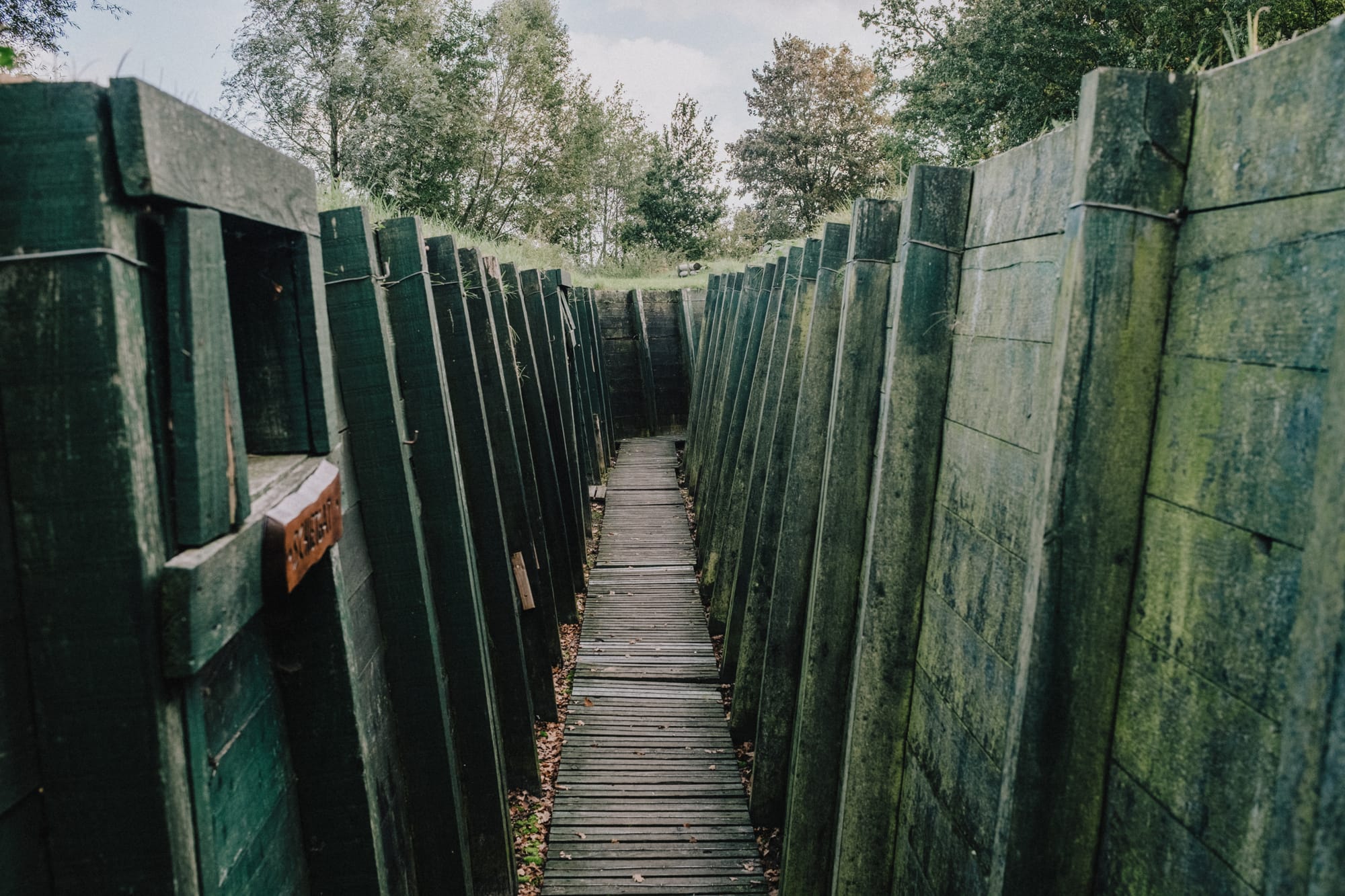
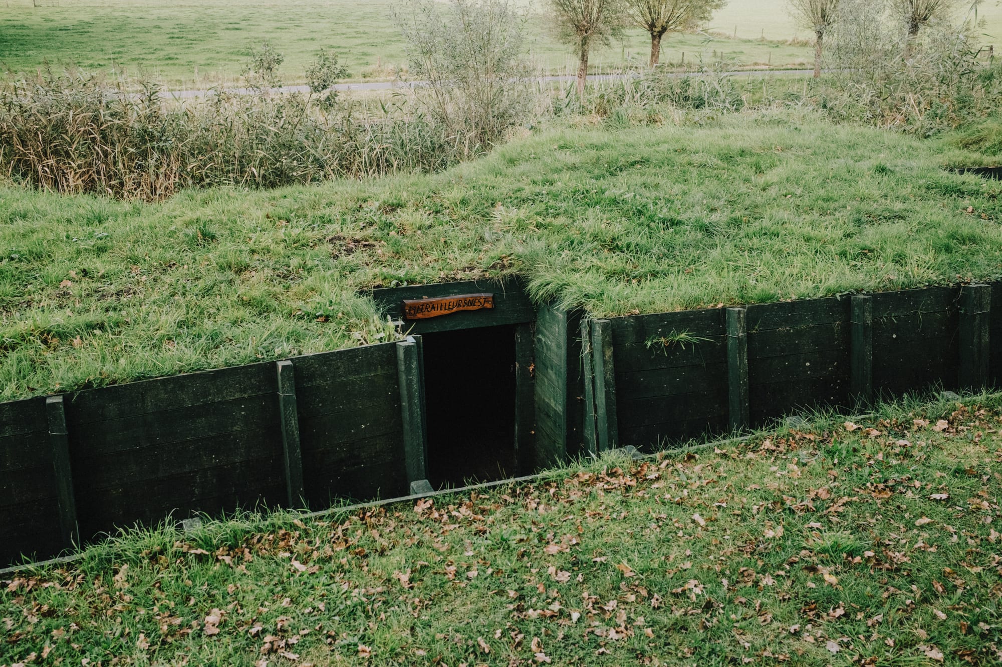
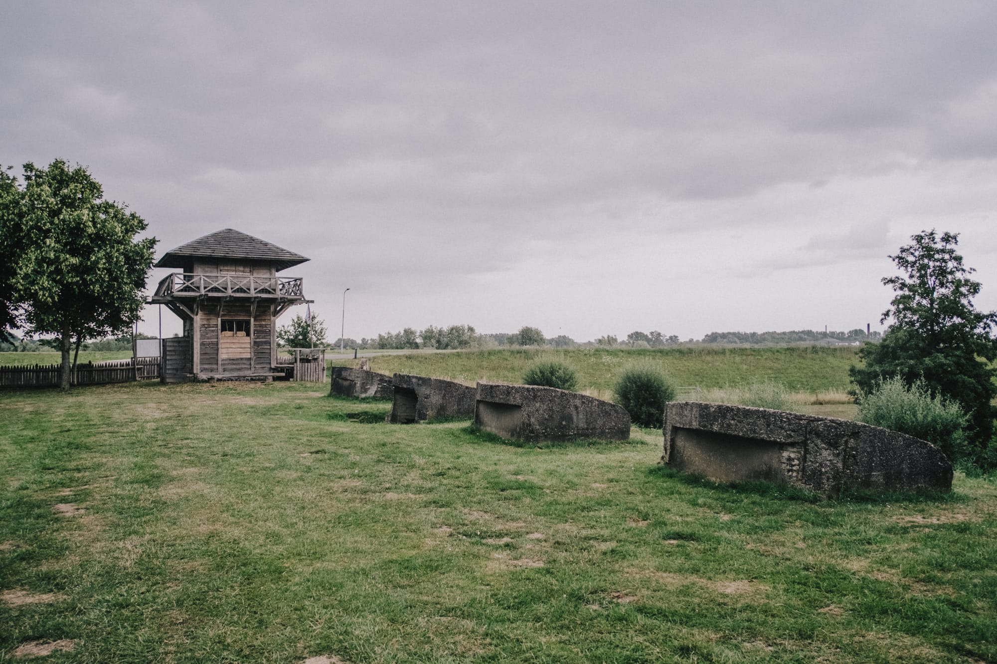
Straddling the border between Gelderland and Utrecht, the Grebbelinie cuts through the landscape like a forgotten line in time. It was originally built in the 18th century as a water-based defense system, but it gained real significance in 1939–1940, when it became known as the Valleistelling and played a key role in the Dutch military defense.
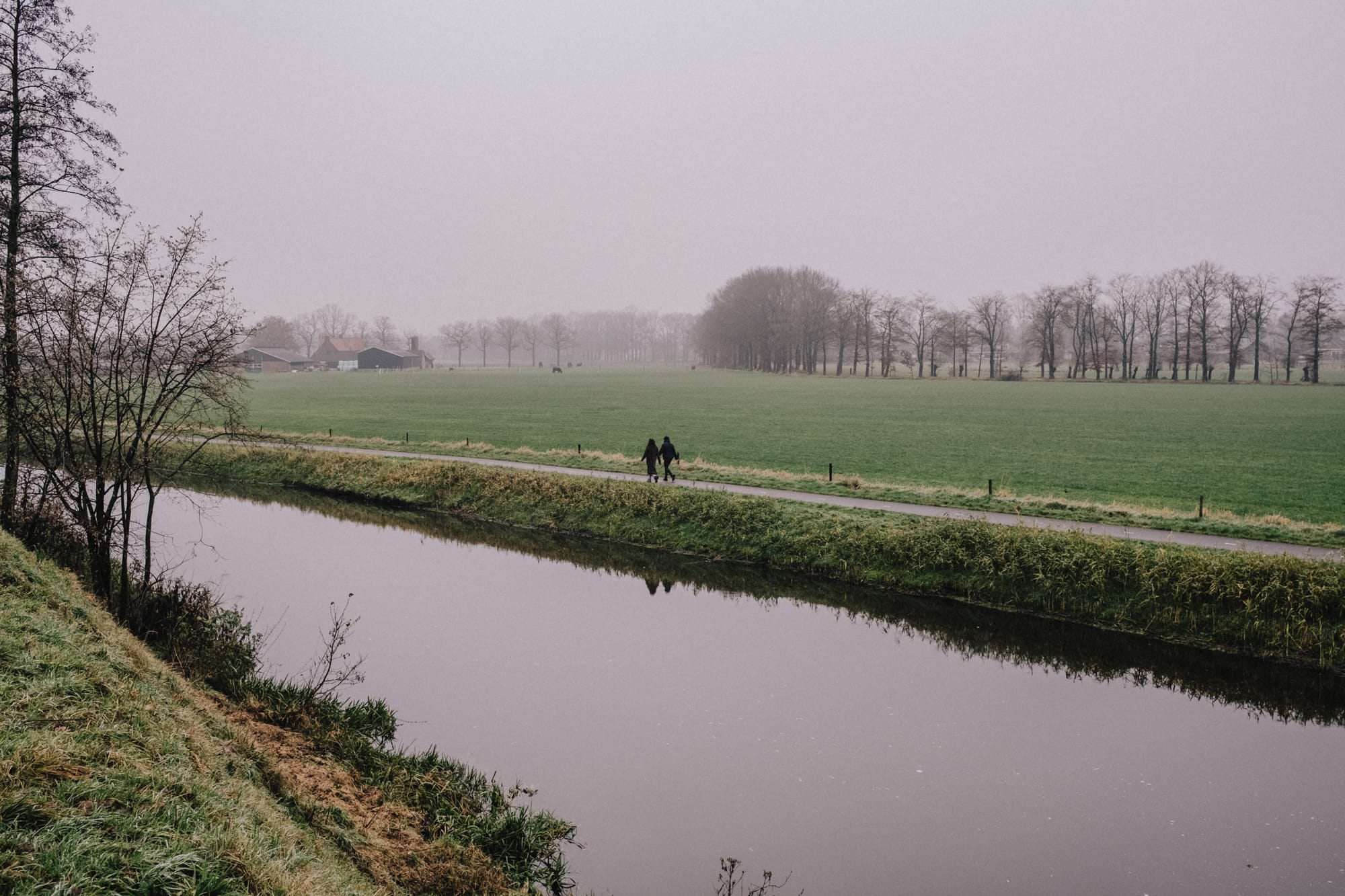
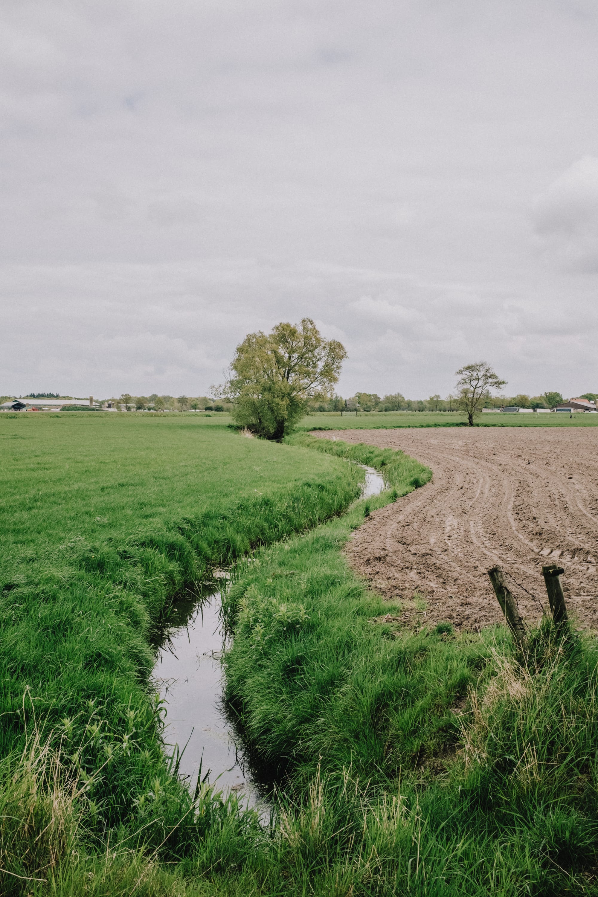
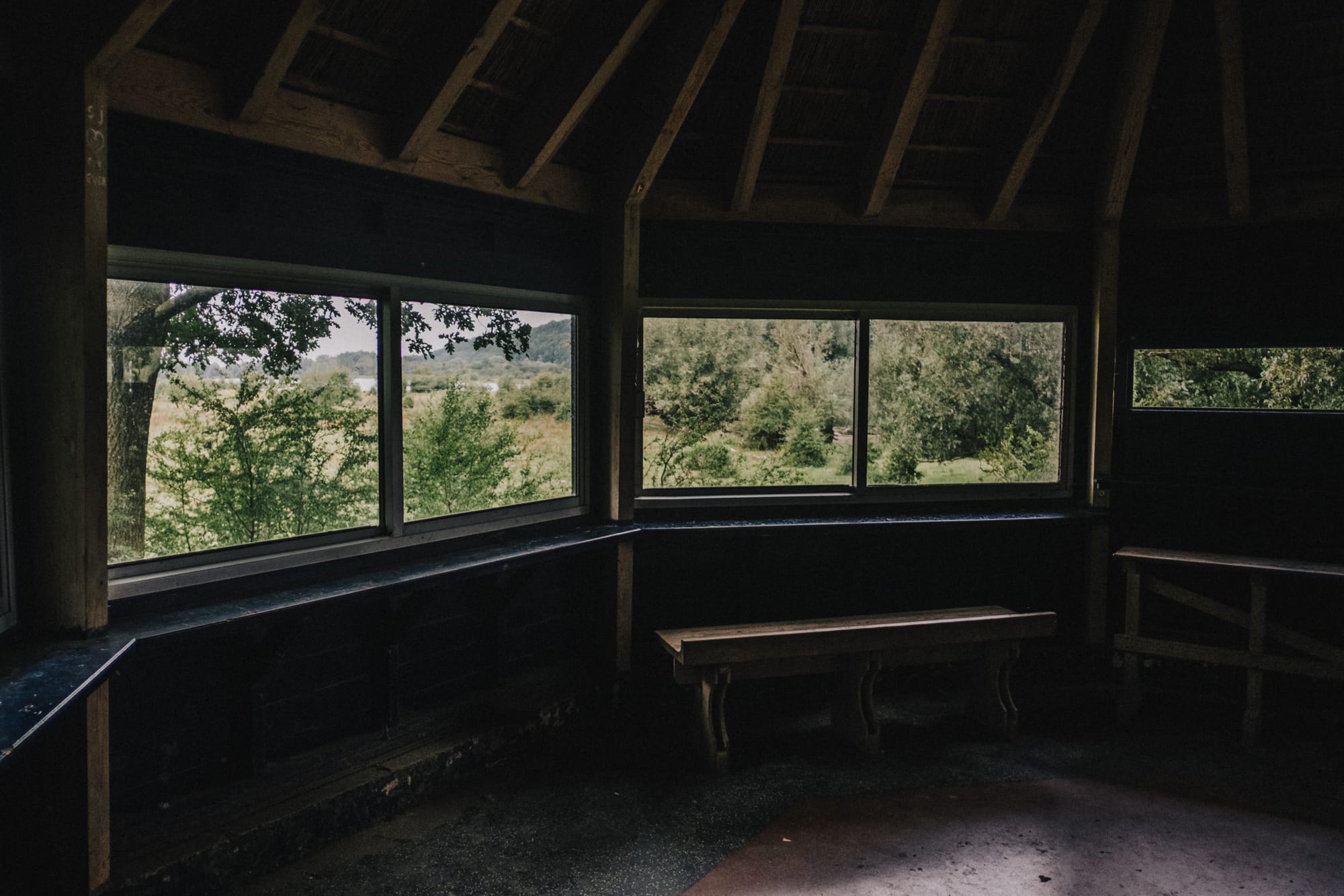
After World War II, the bunkers, tank barriers, and pillboxes were slowly swallowed up by greenery. Now, over 40 kilometers of military history lie quietly tucked away in a long, scenic stretch of nature that follows the Valleikanaal and the river Eem.
Stats
8 sept 2021, 13:19:08
Number of walks
16
Kilometers walked
167,6 (I've walked some sections twice)
Average speed
4.9 km/h
Total time
46 hrs, 51 min
End date & time
5 aug 2023, 16:23:42
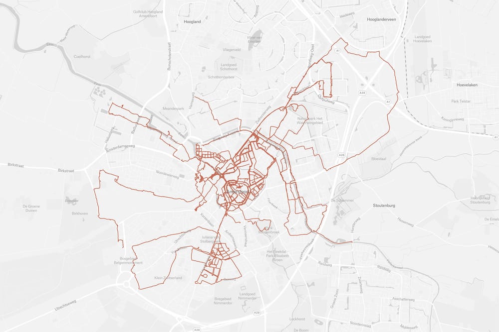
Walk overview
I recorded GPS data during each walk. This allows me to create an overview of the route, as well as connect those coordinates to the images I made along the way.


Zooming in reveals all the little detours and double-takes I had to take and do to complete the walk.
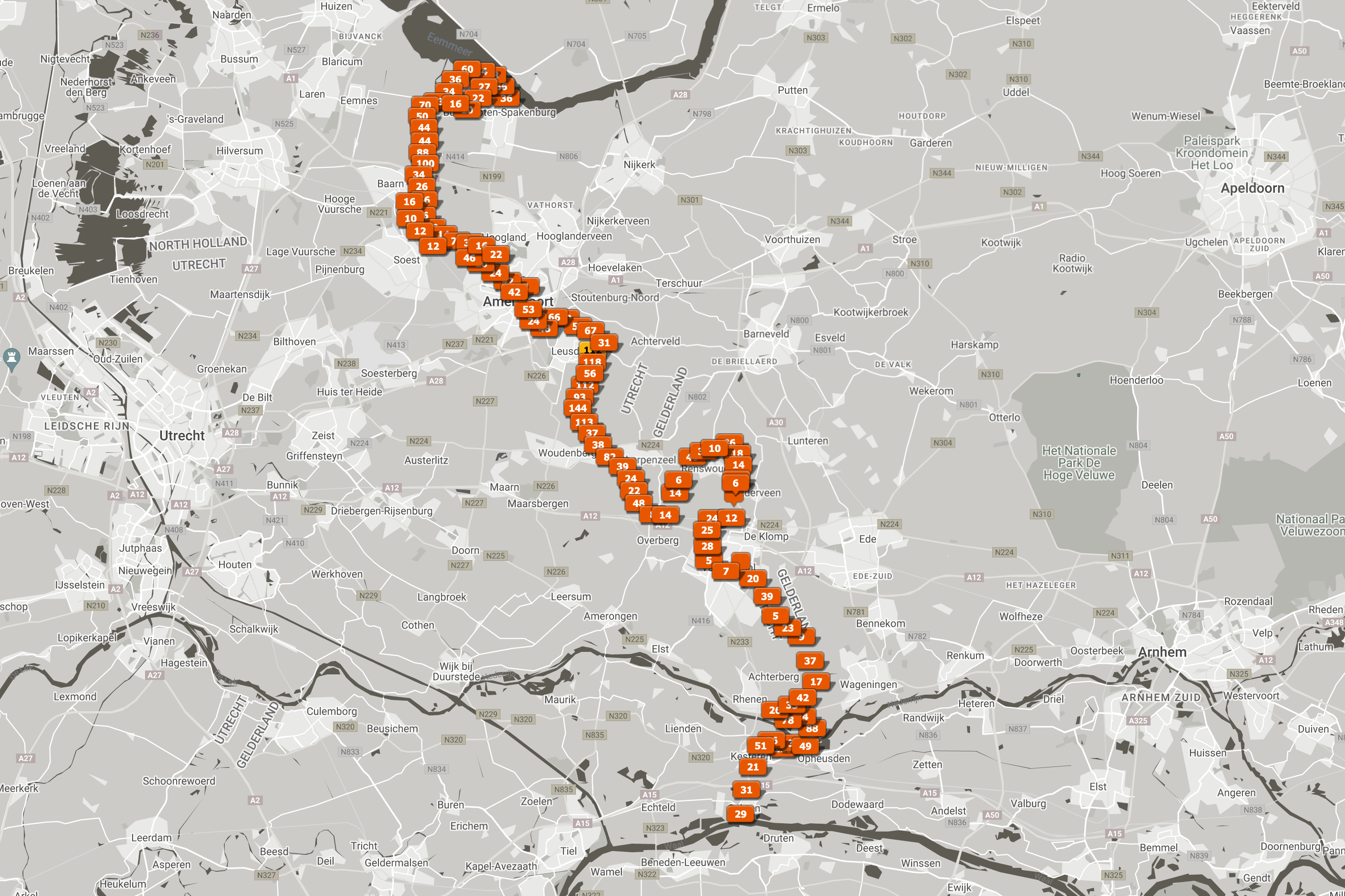
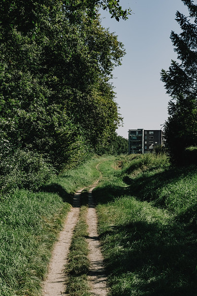
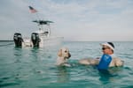
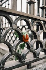
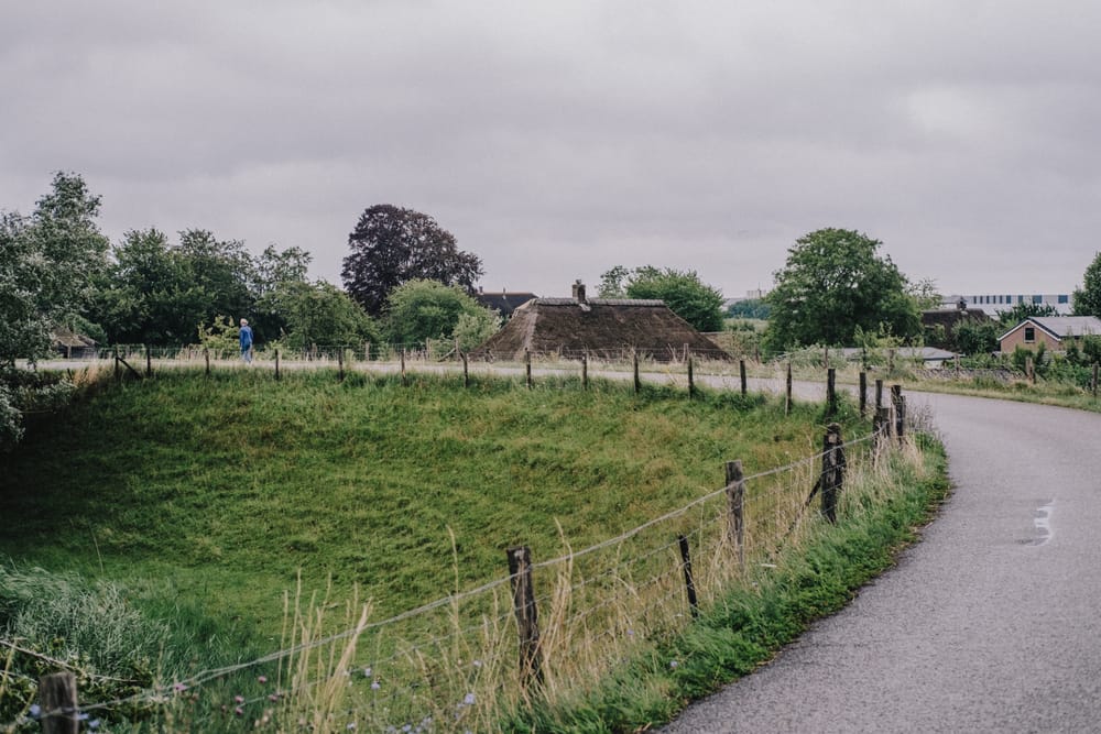
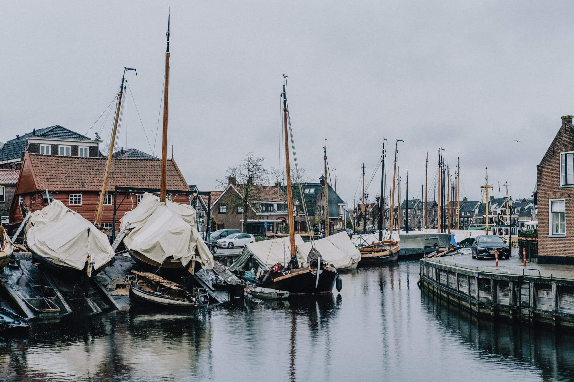
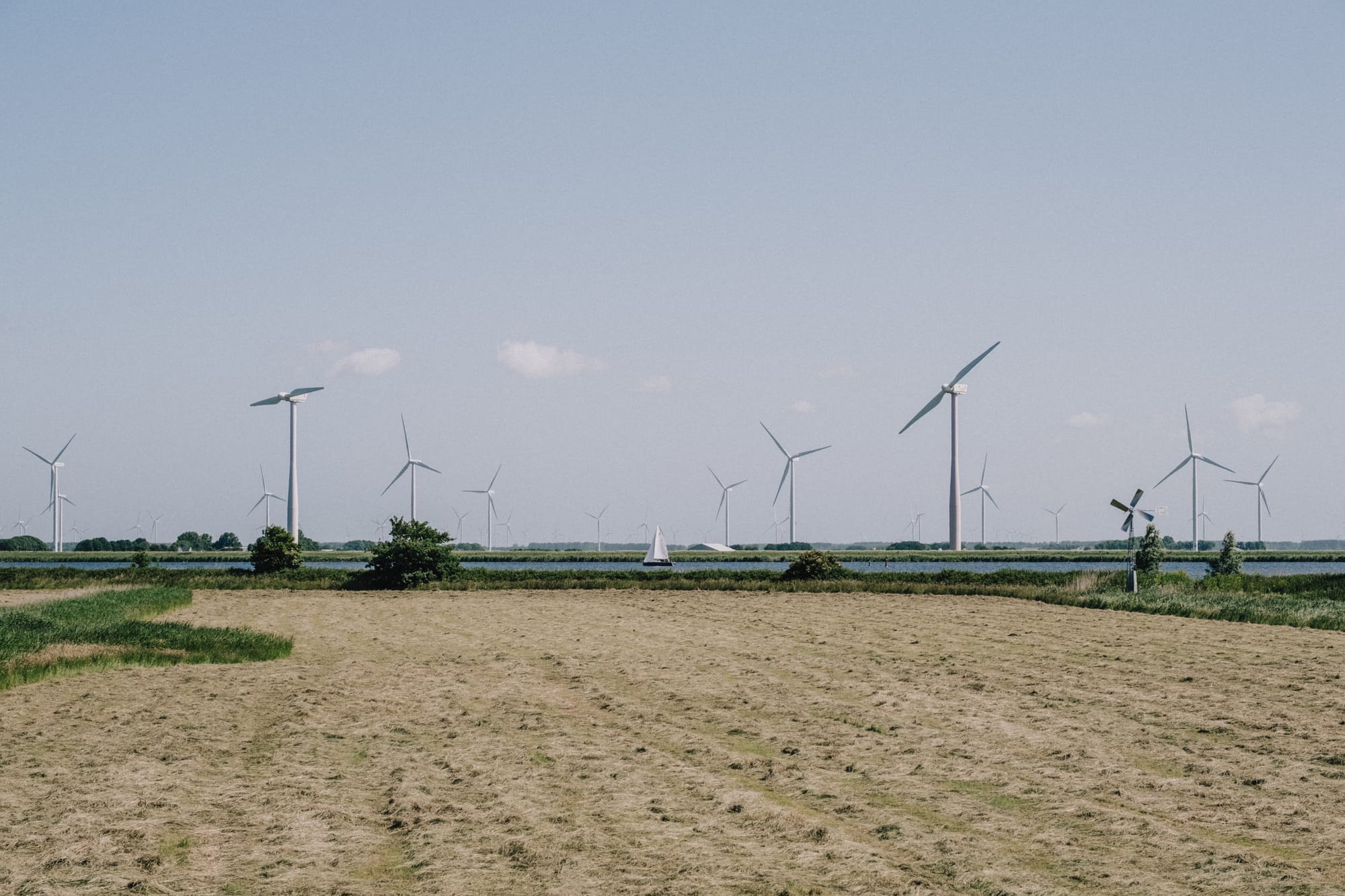
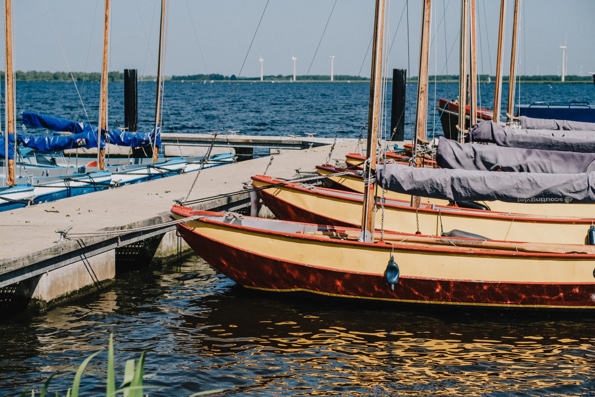
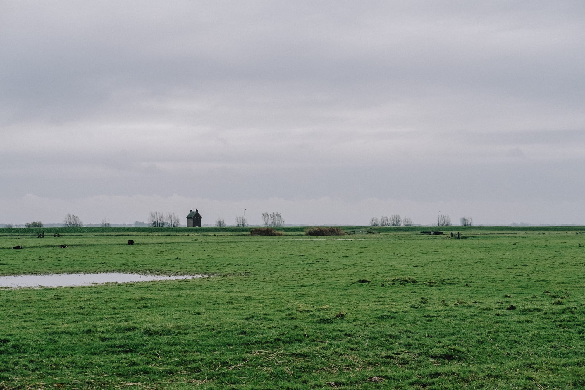
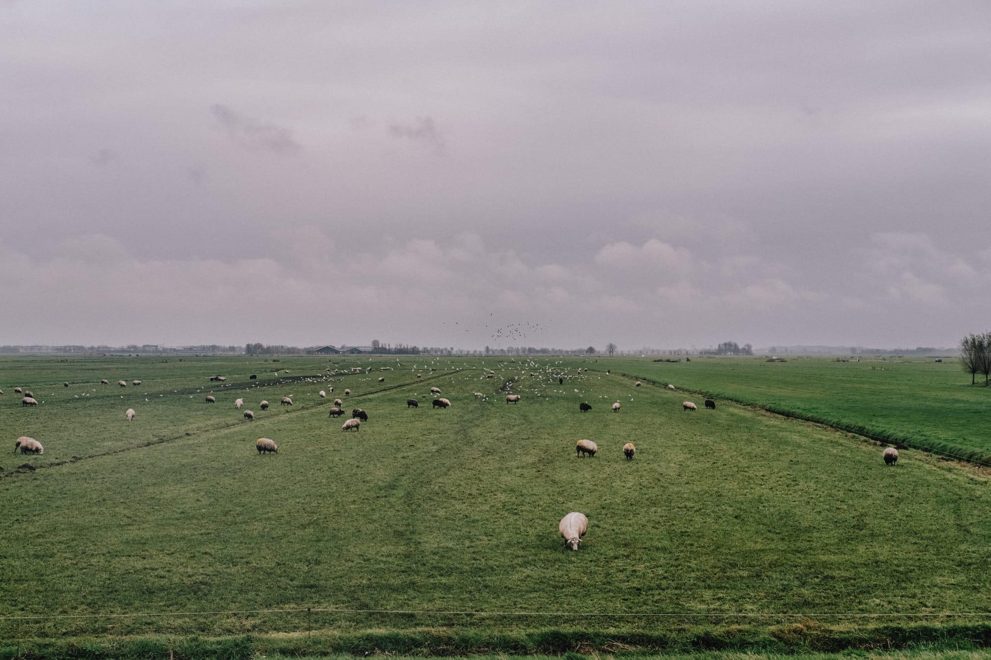
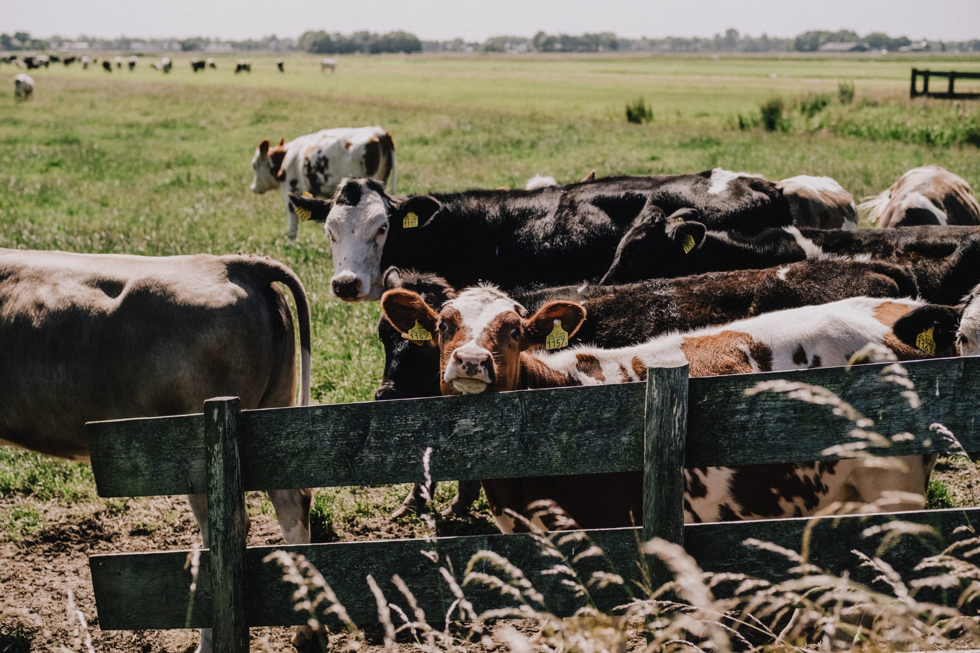
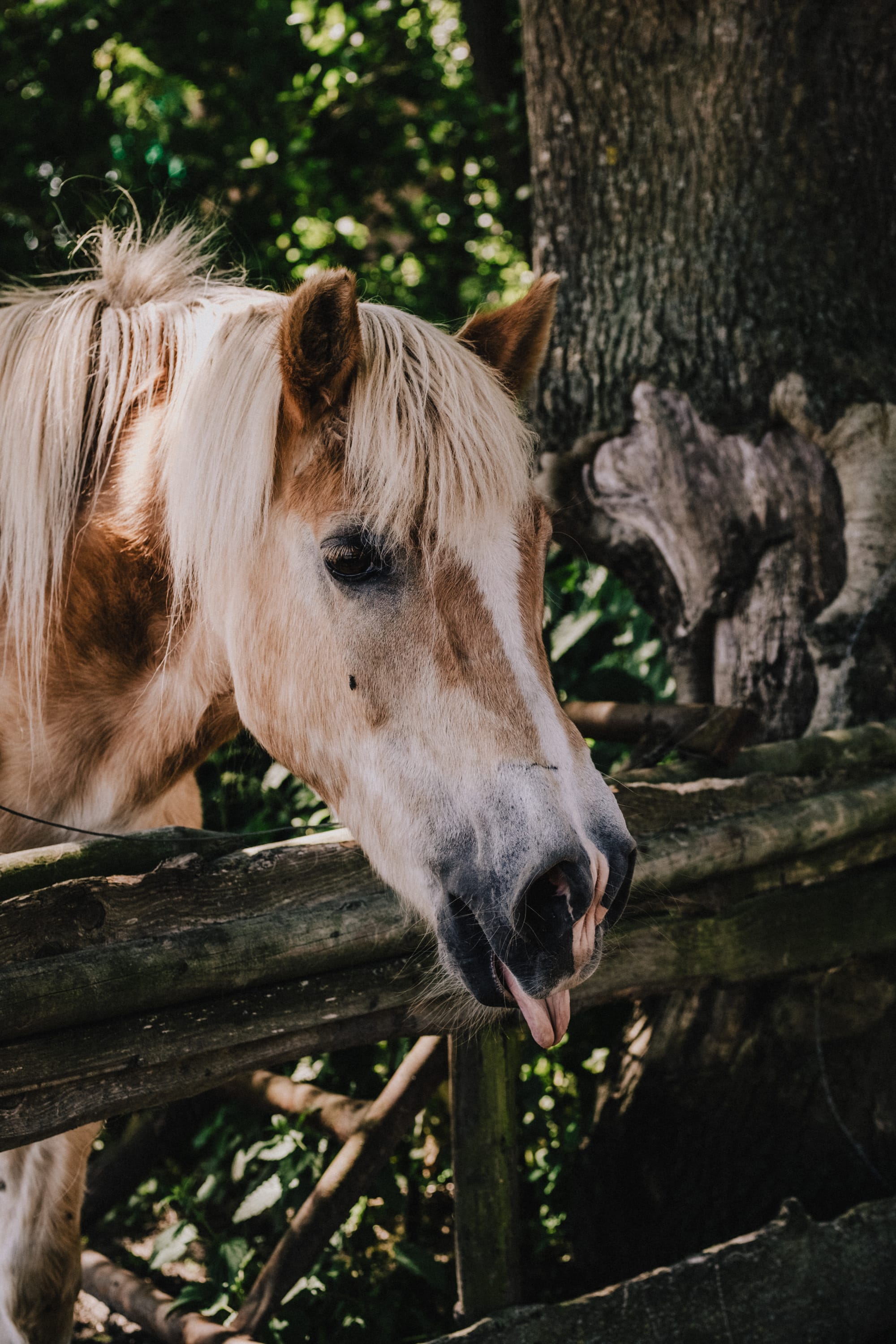
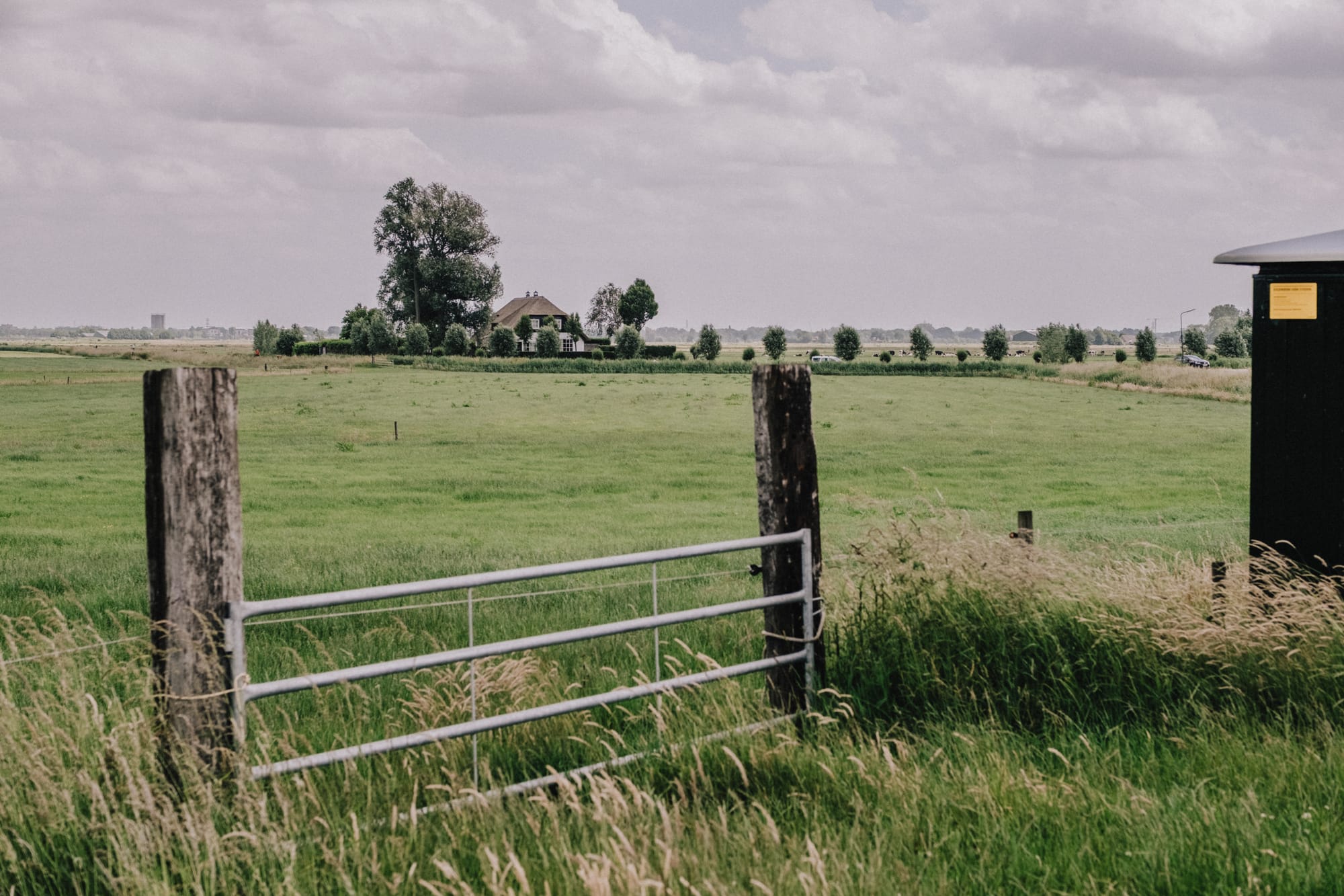
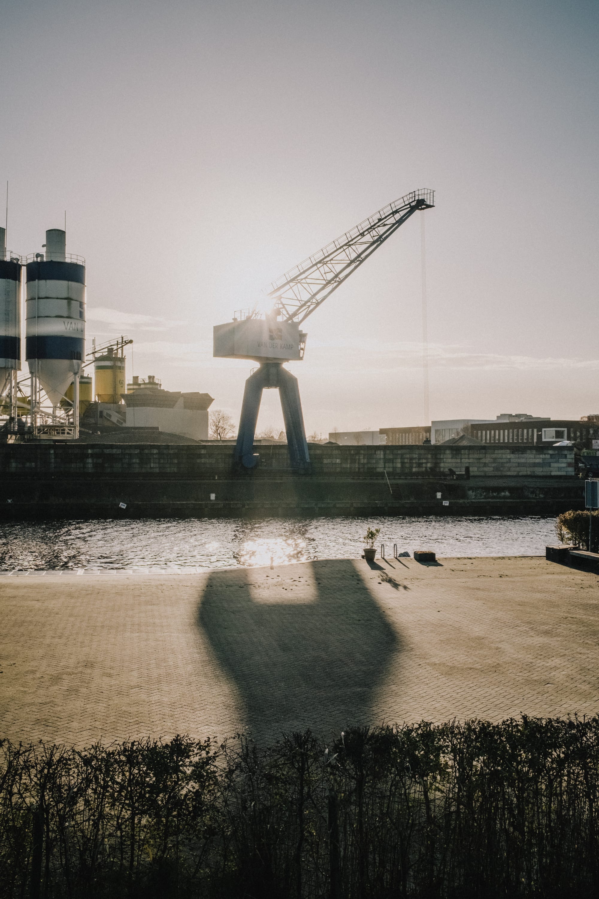
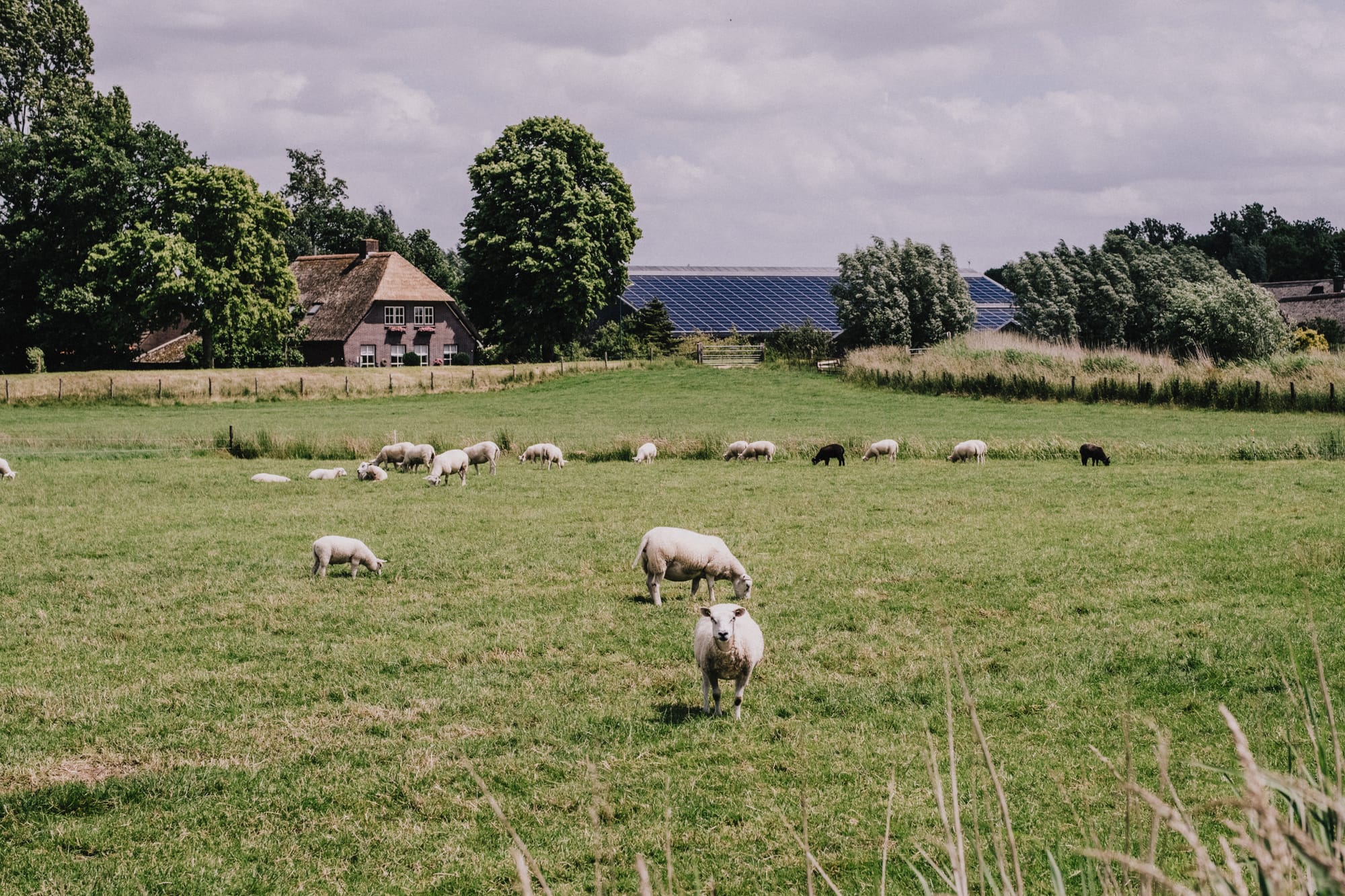
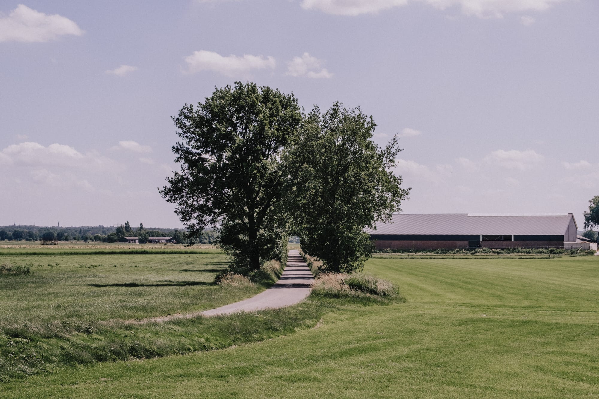
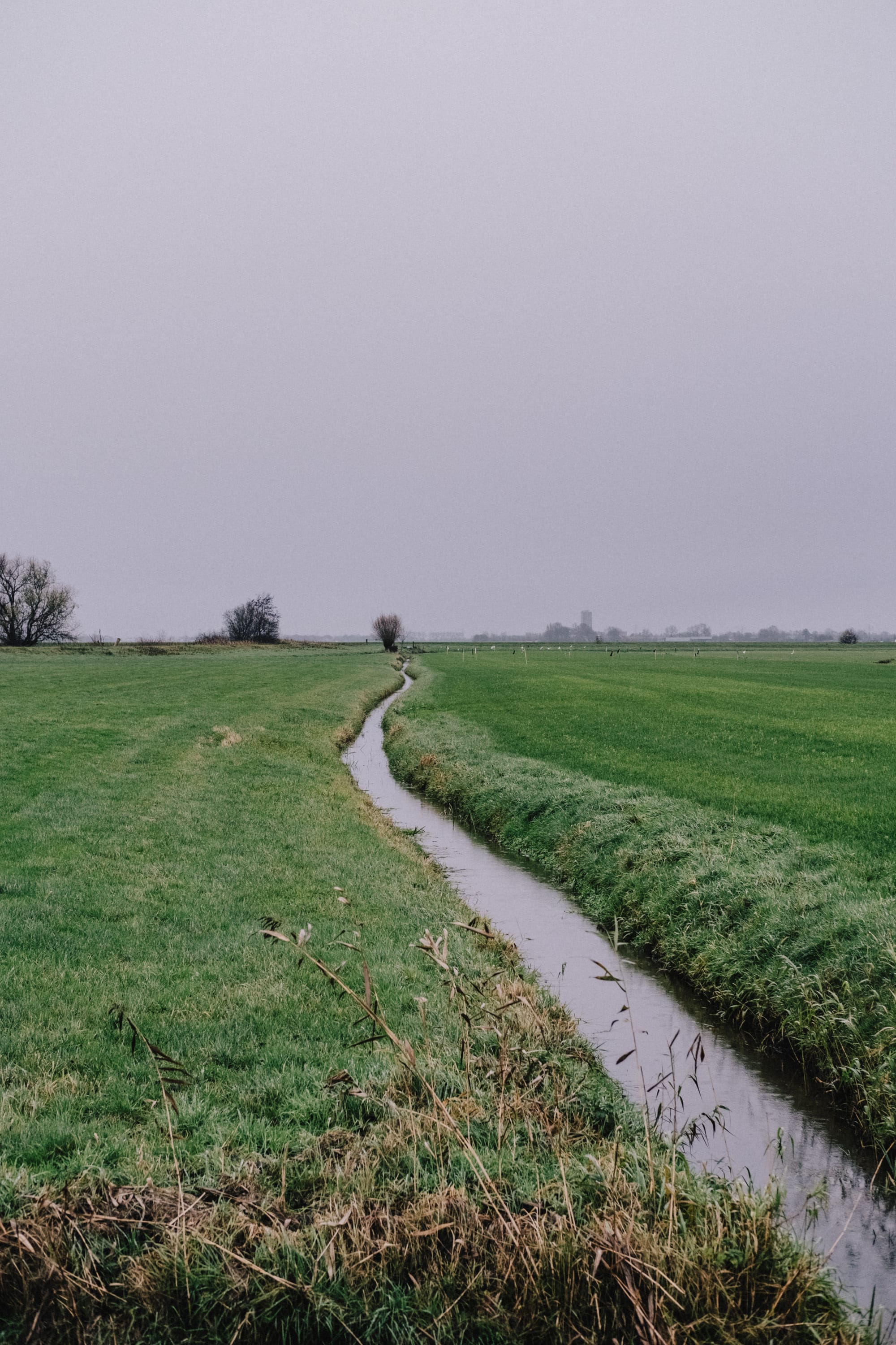
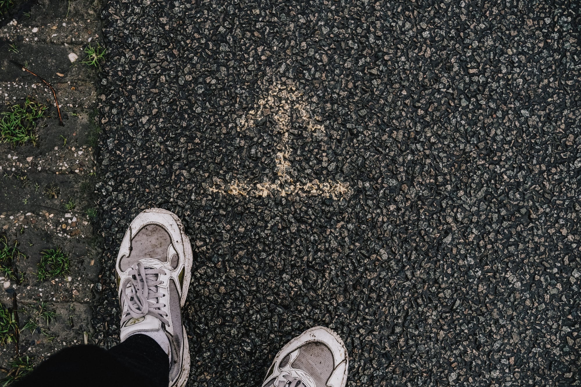
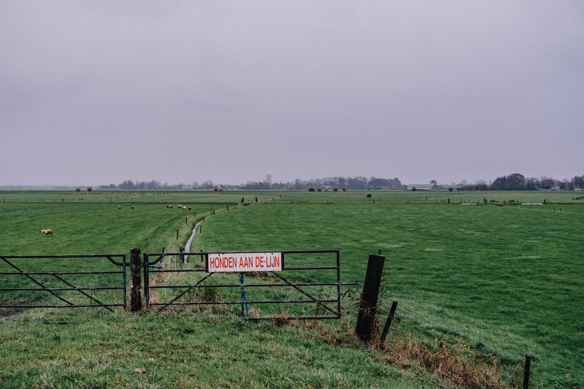
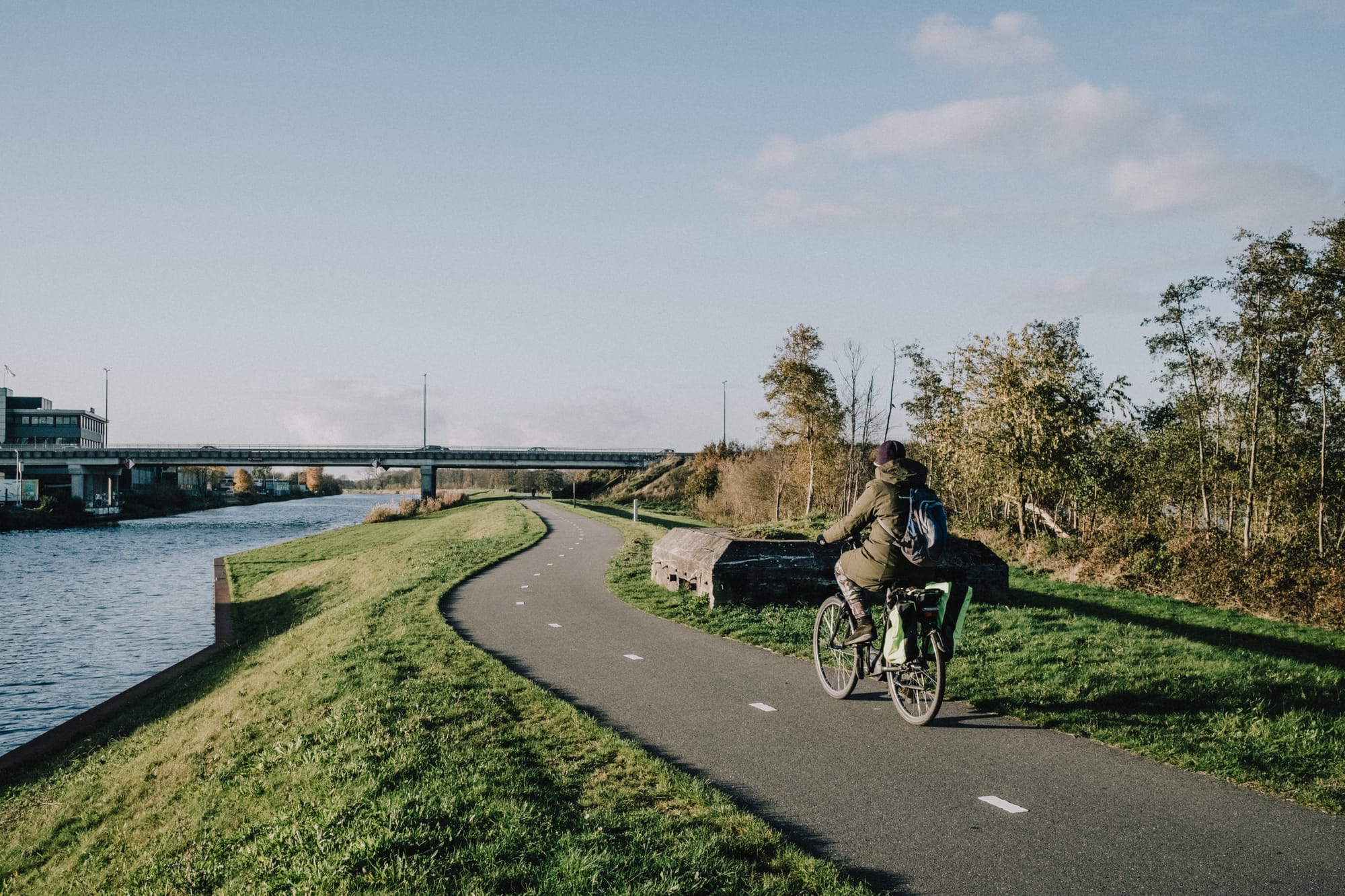
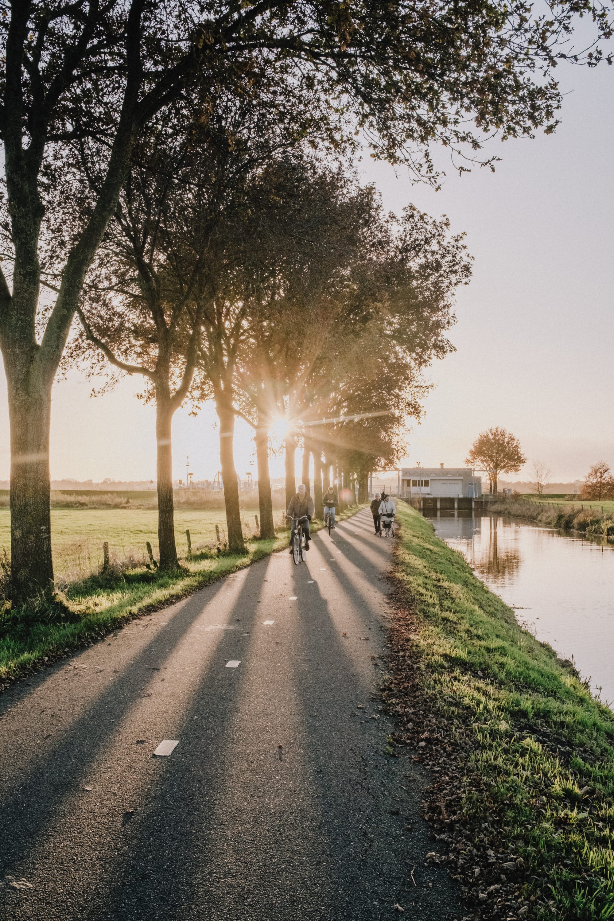
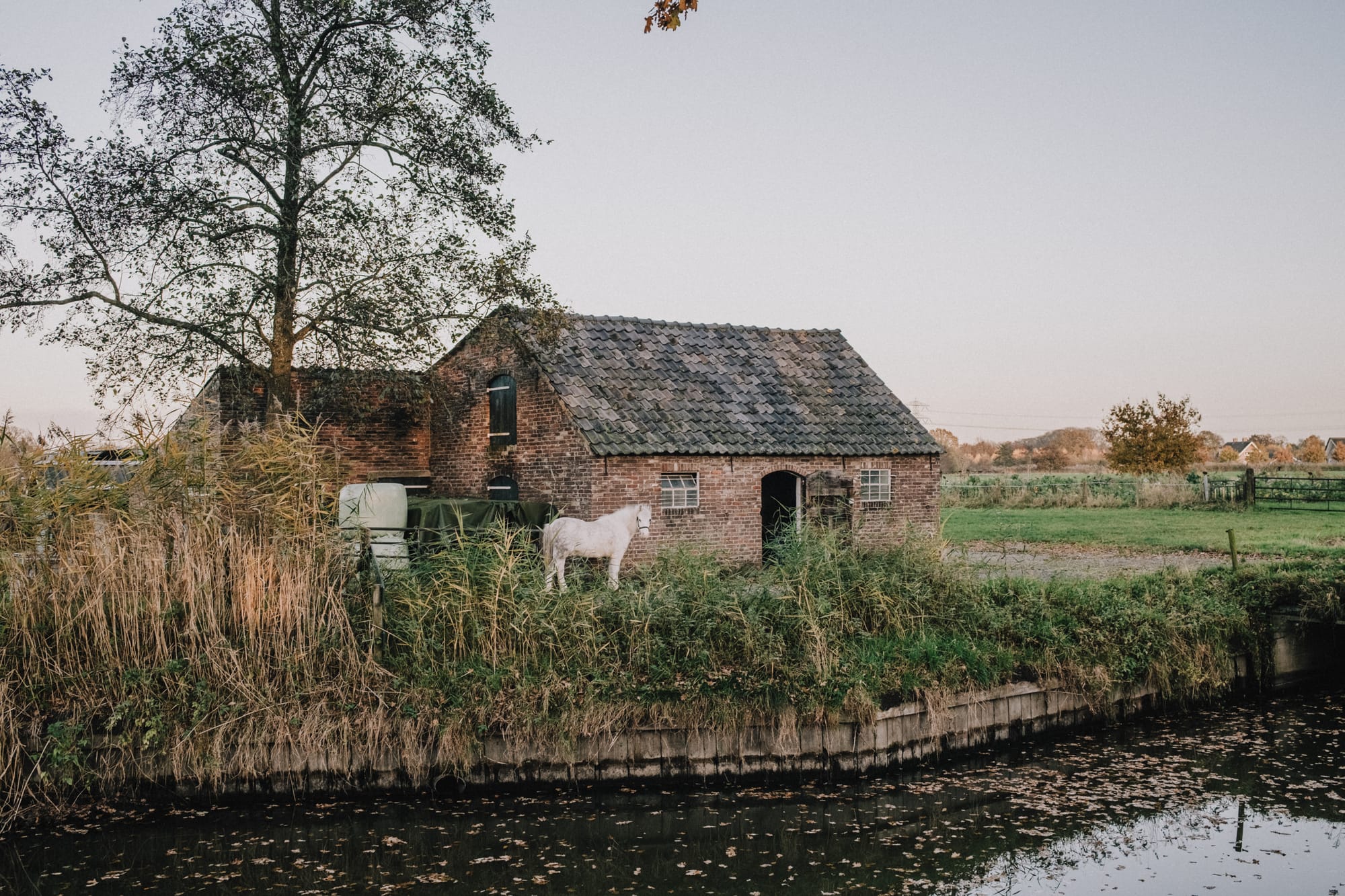
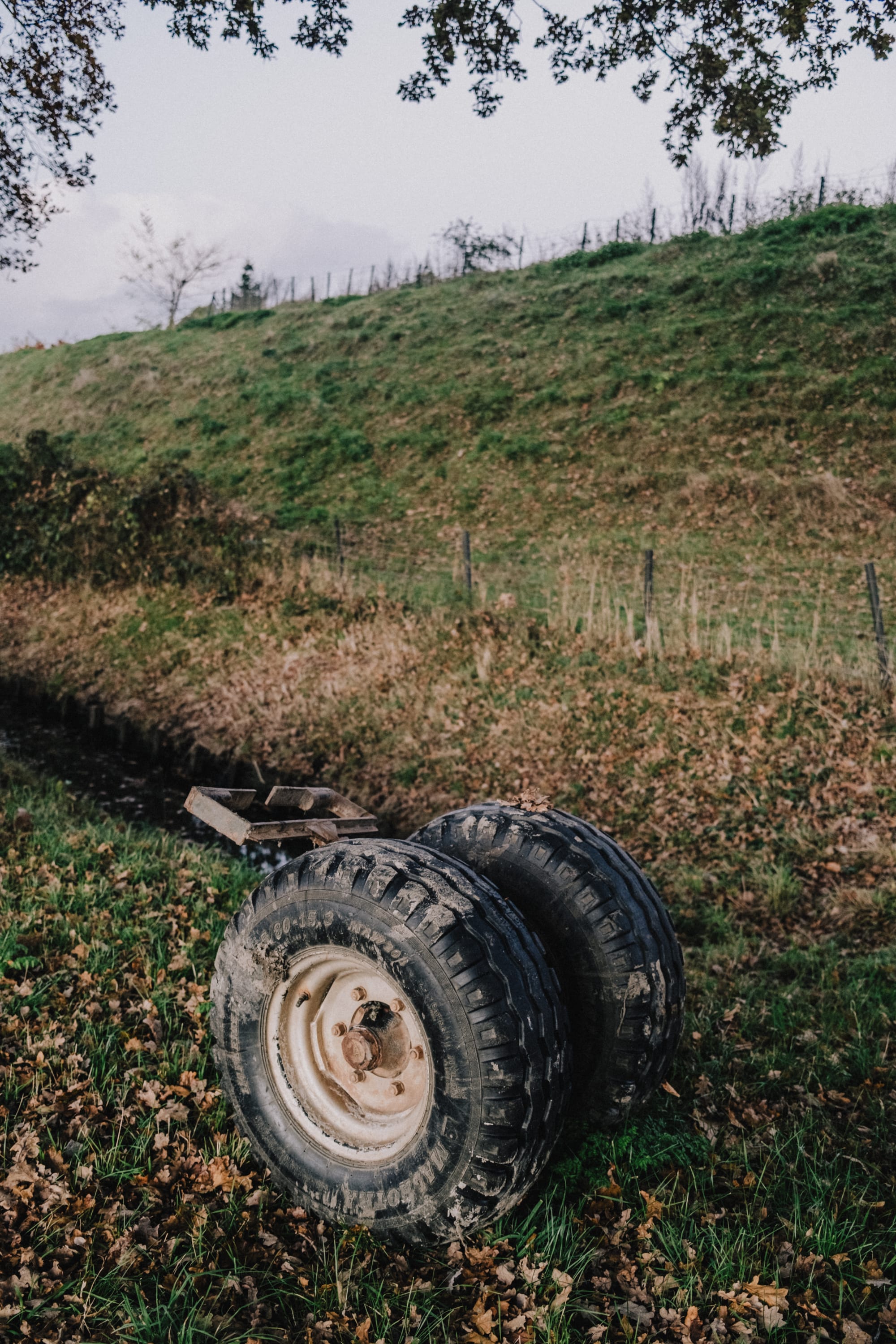
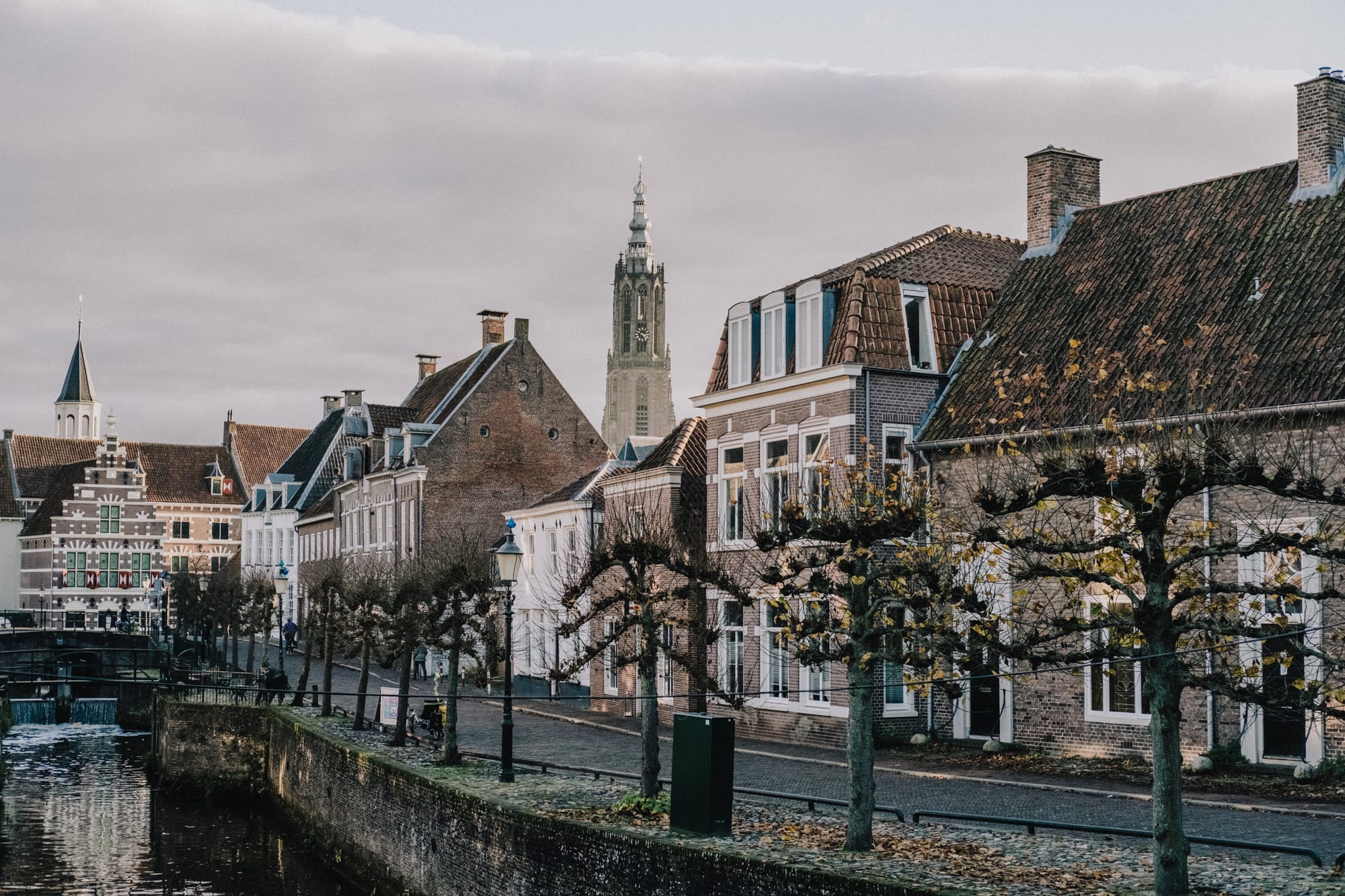
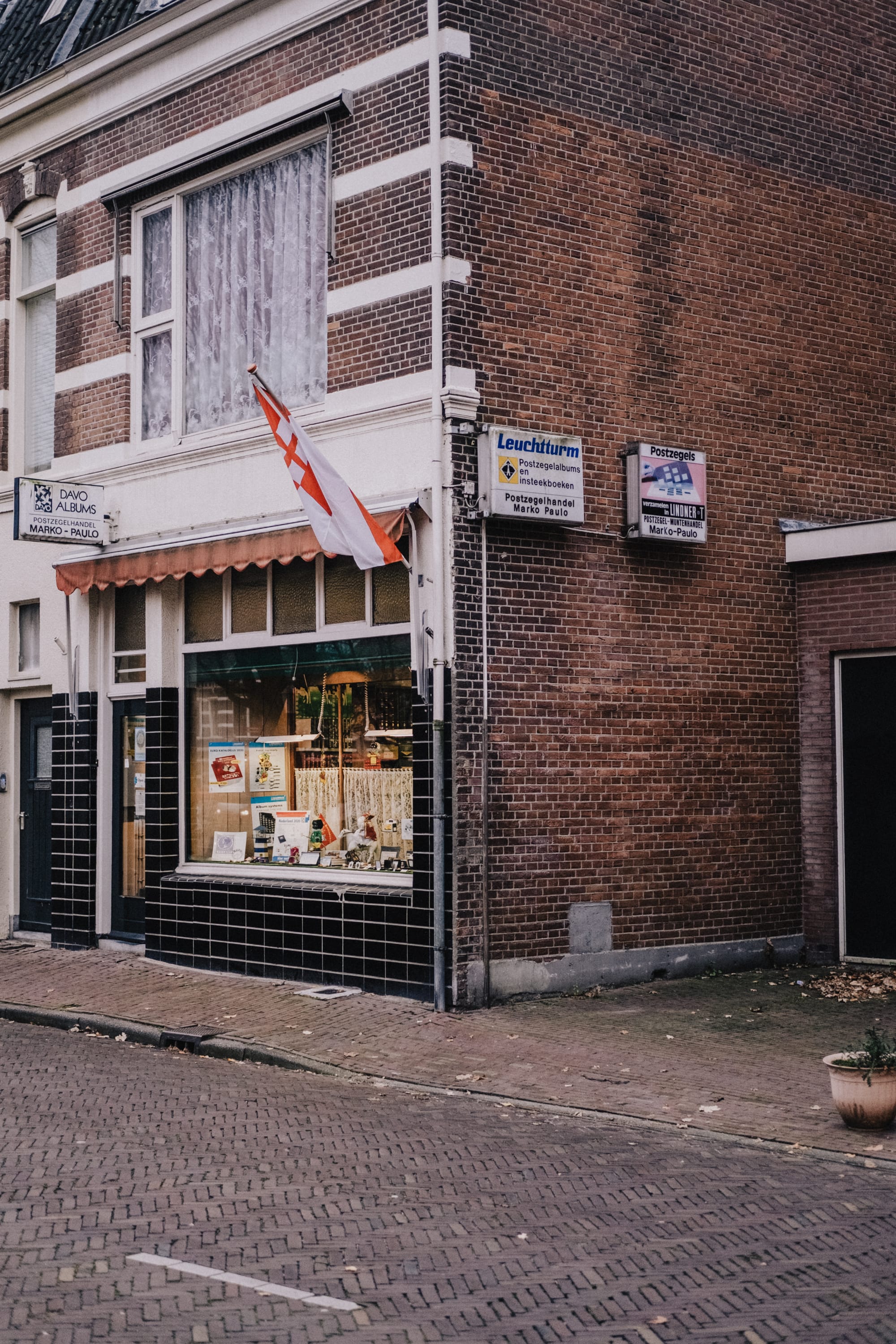
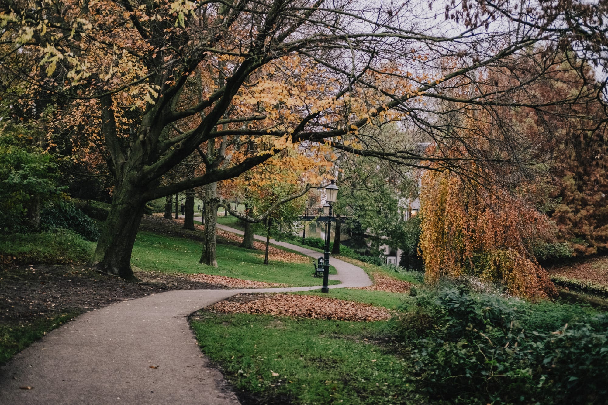
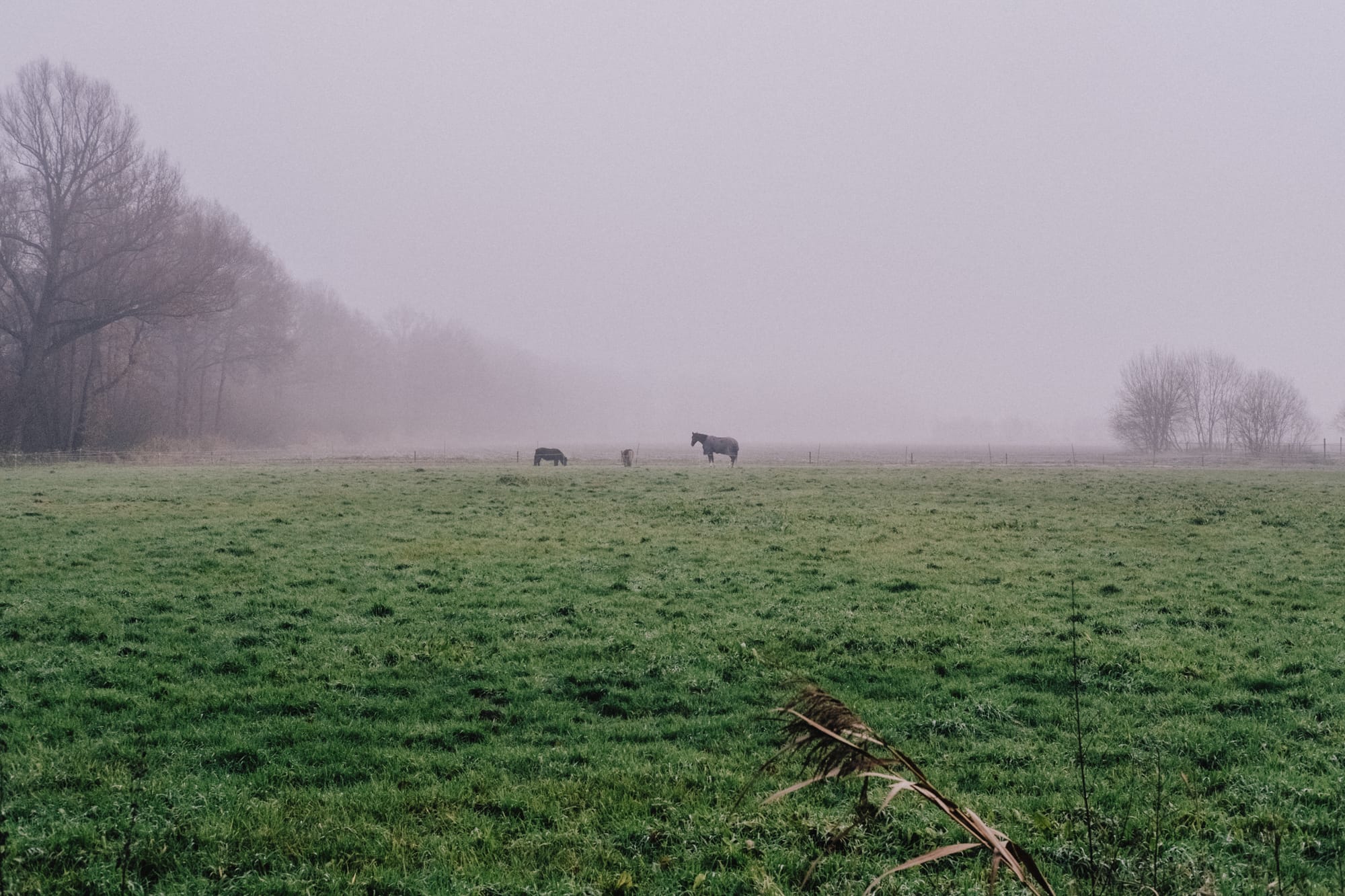
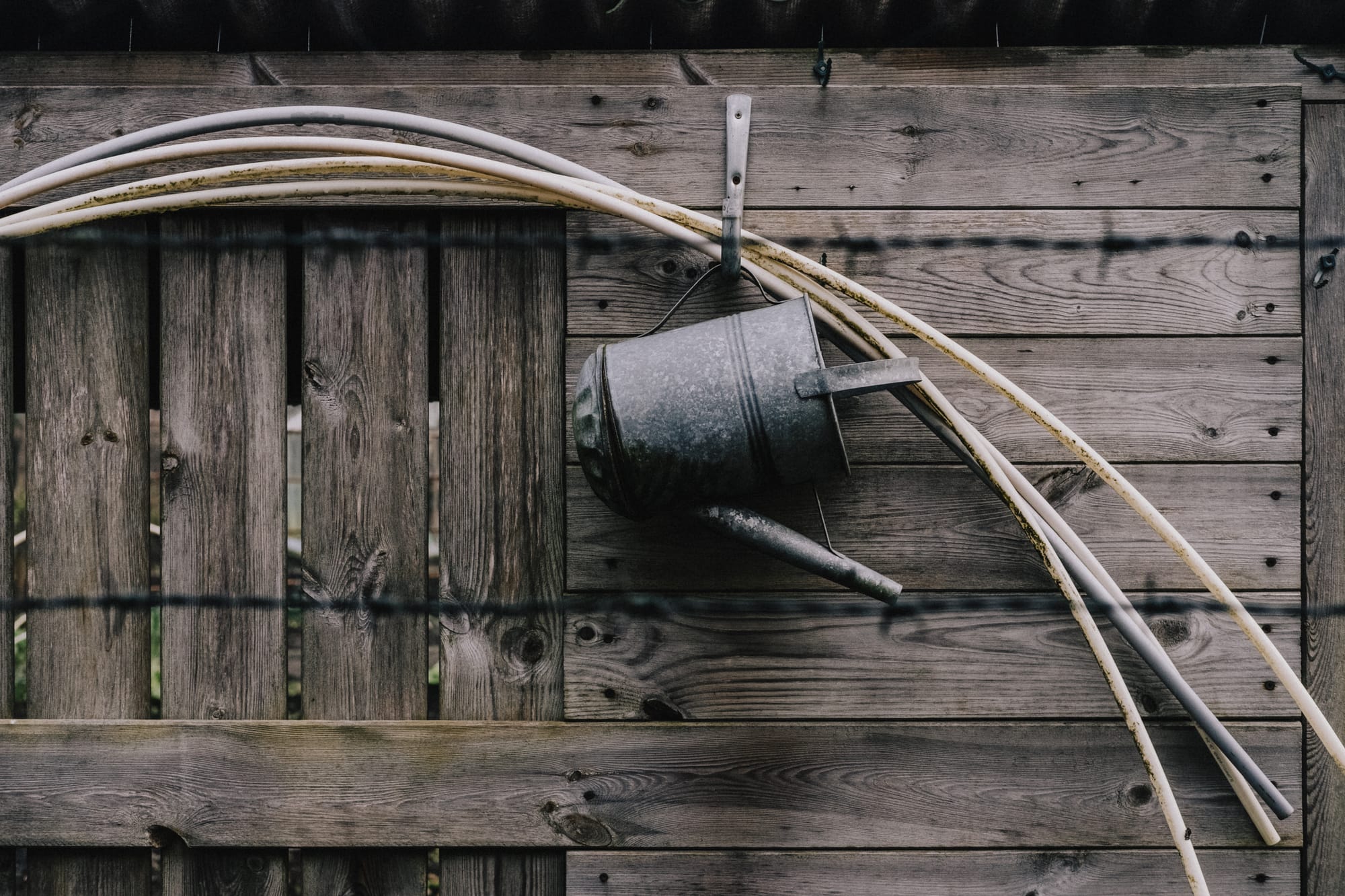
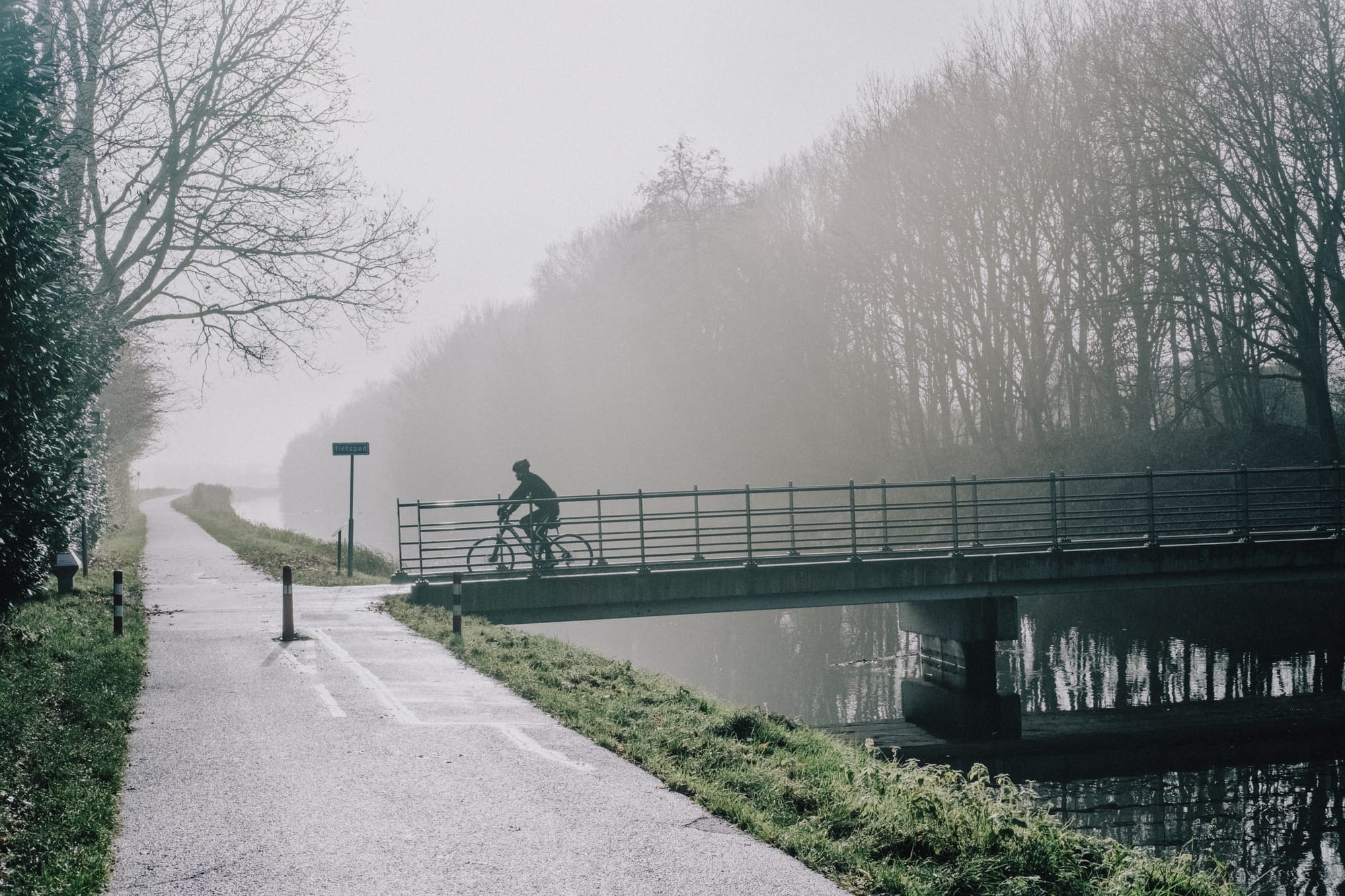
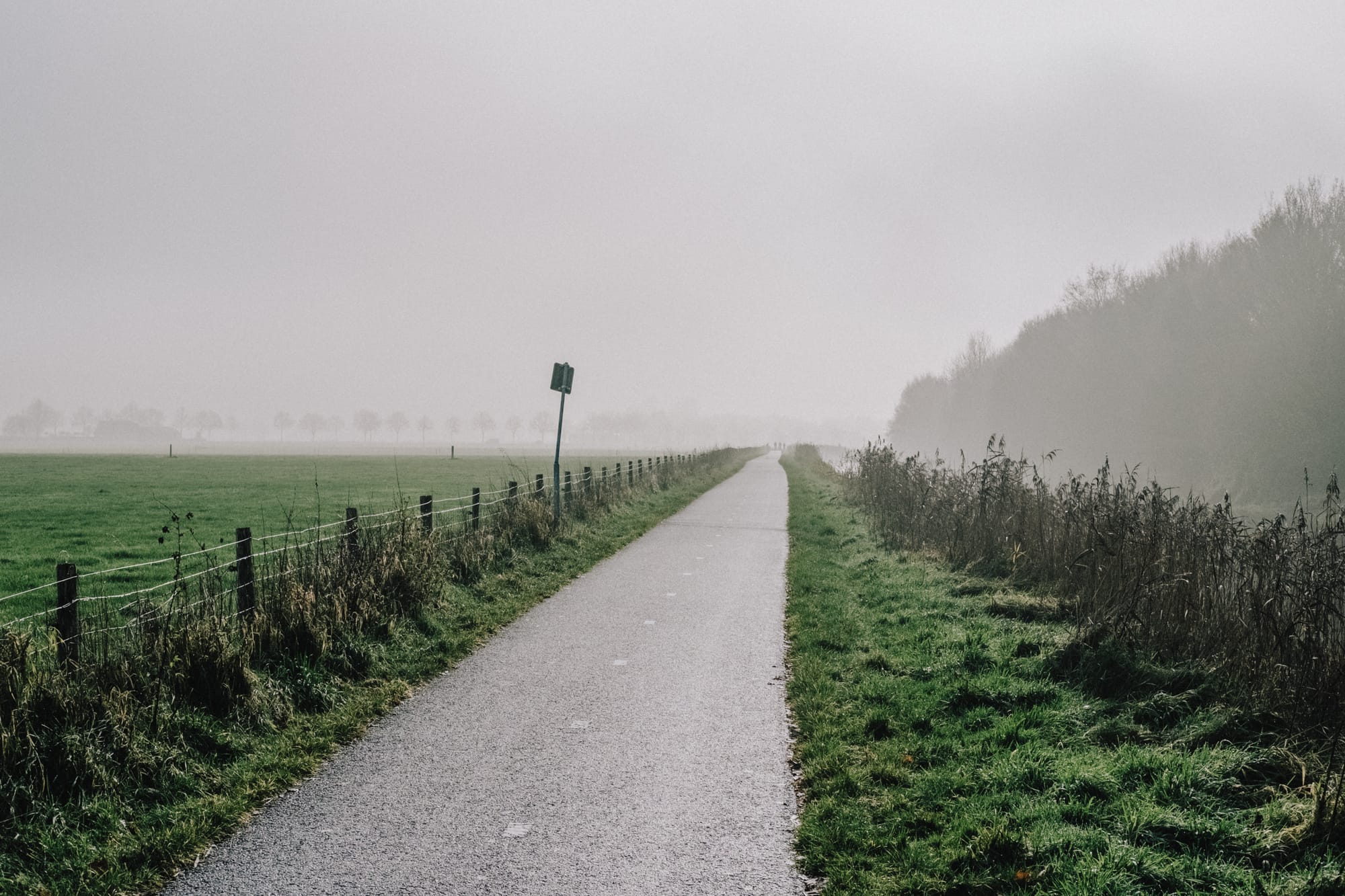
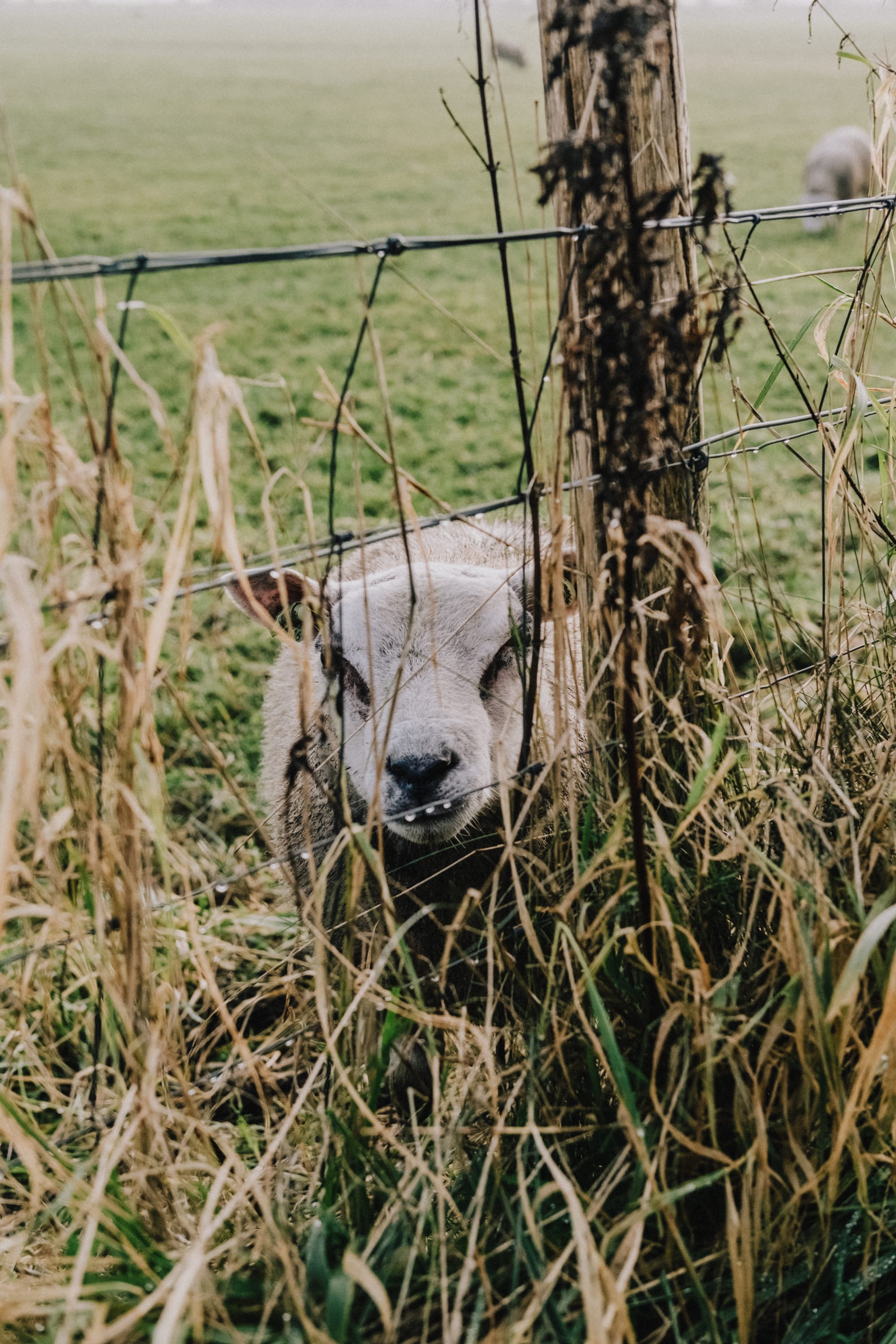
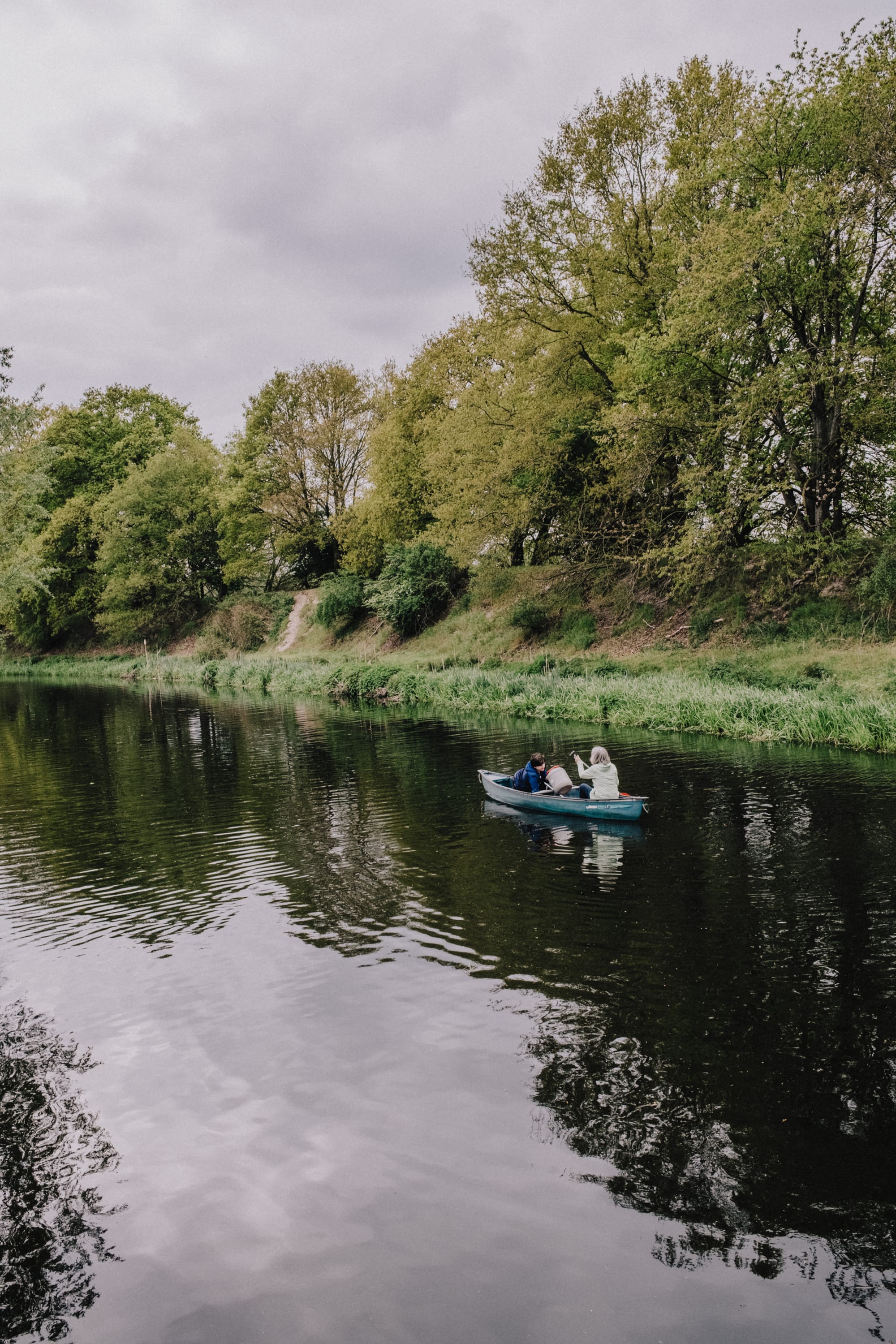
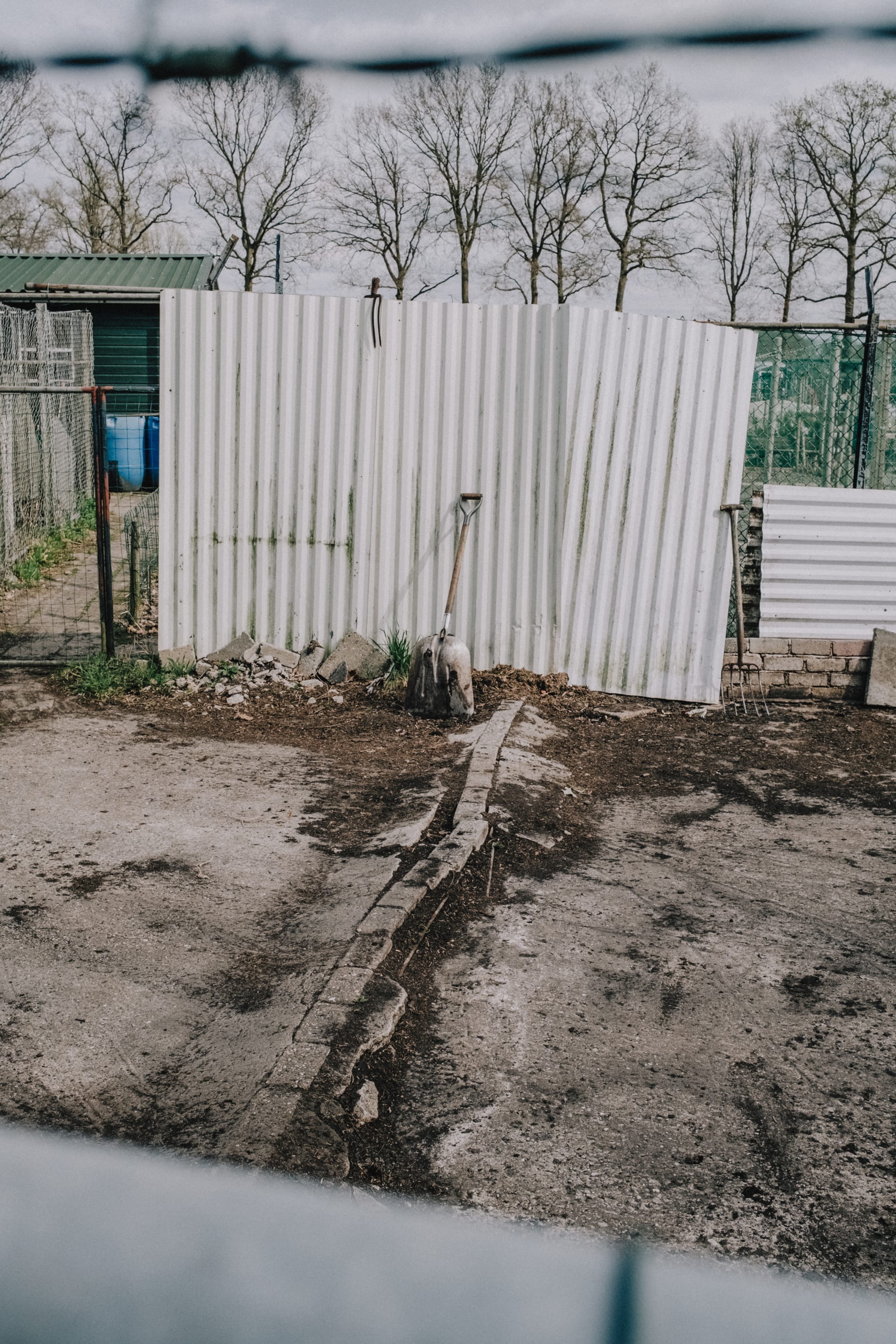
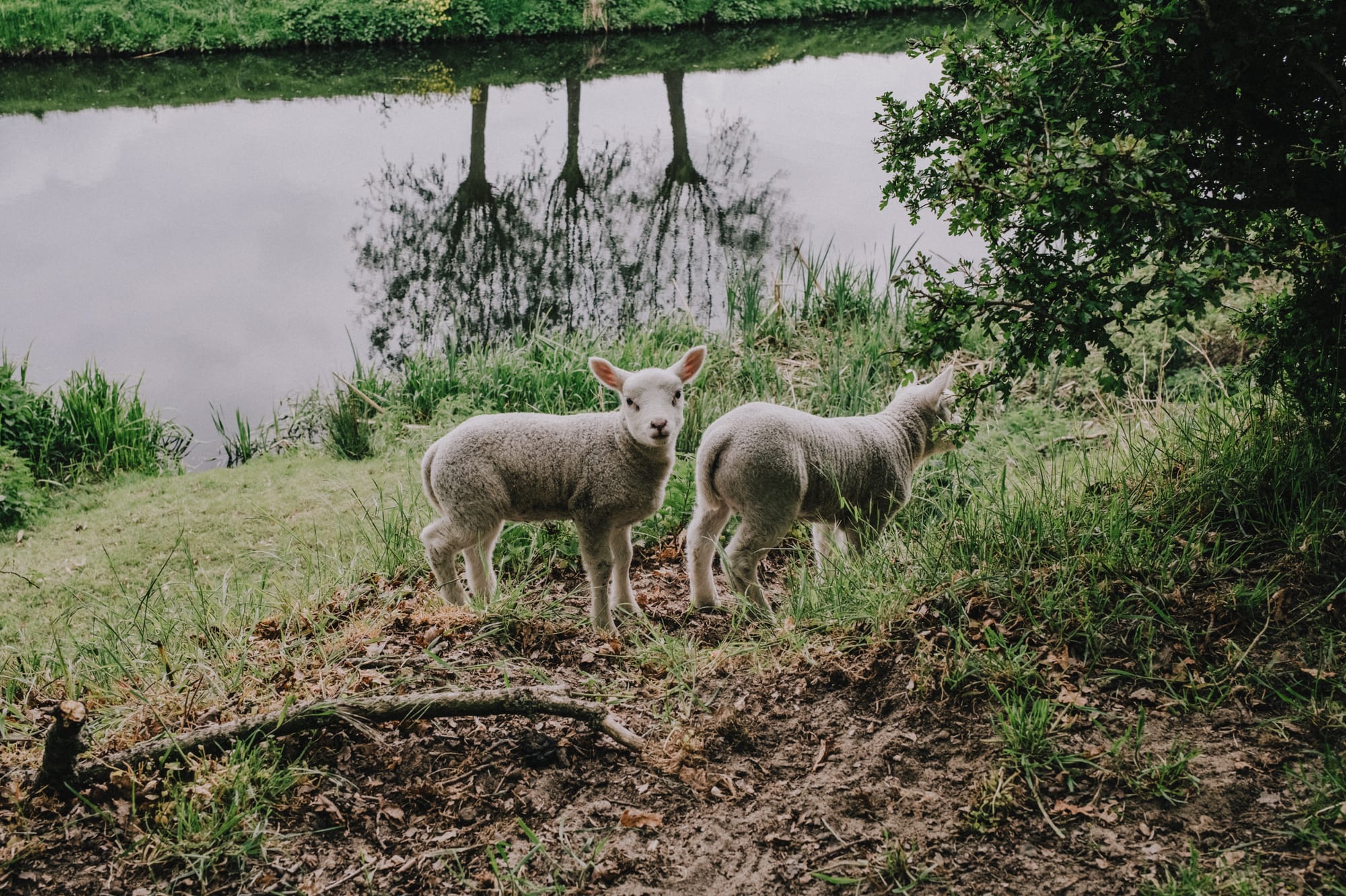
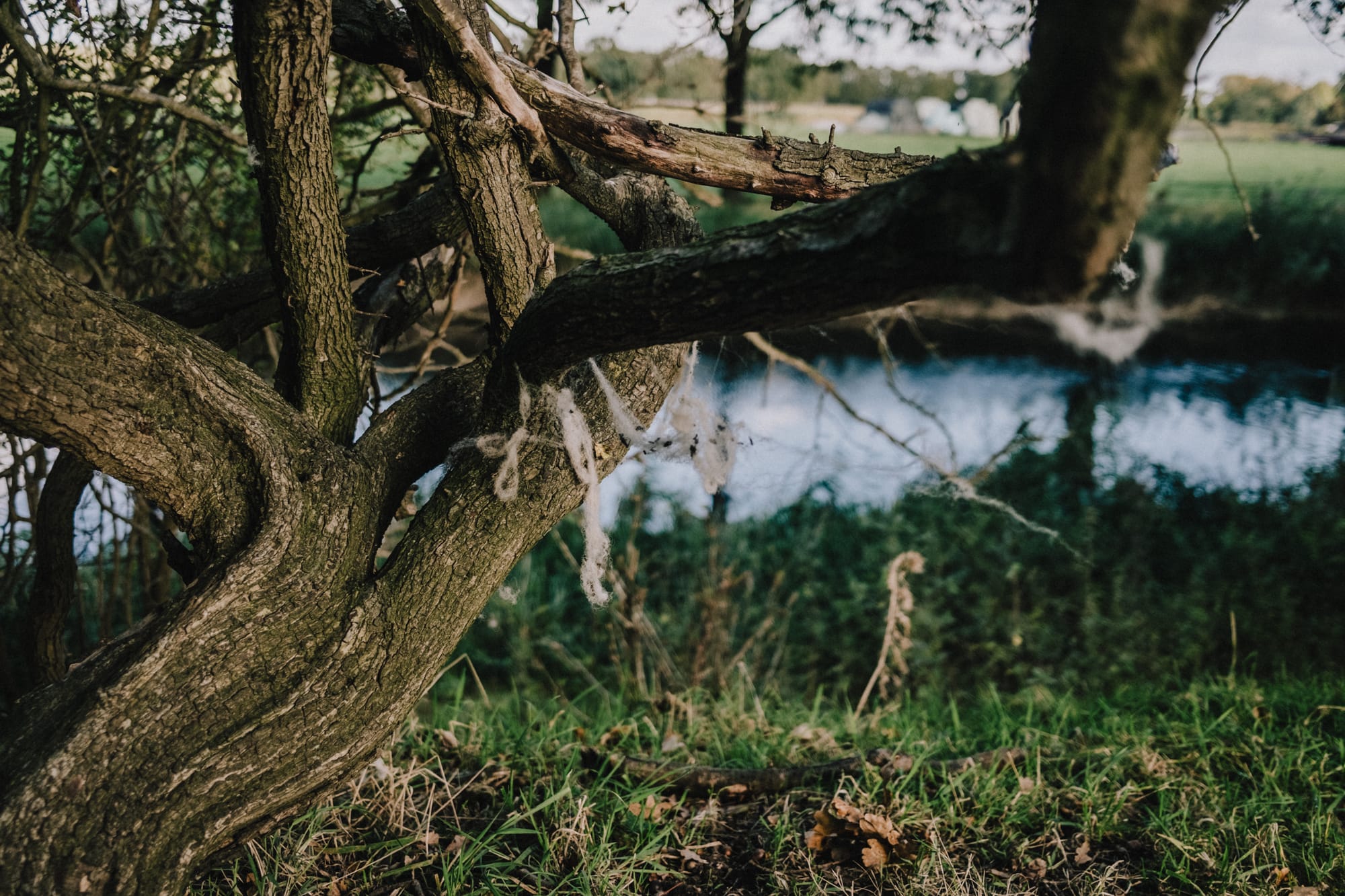
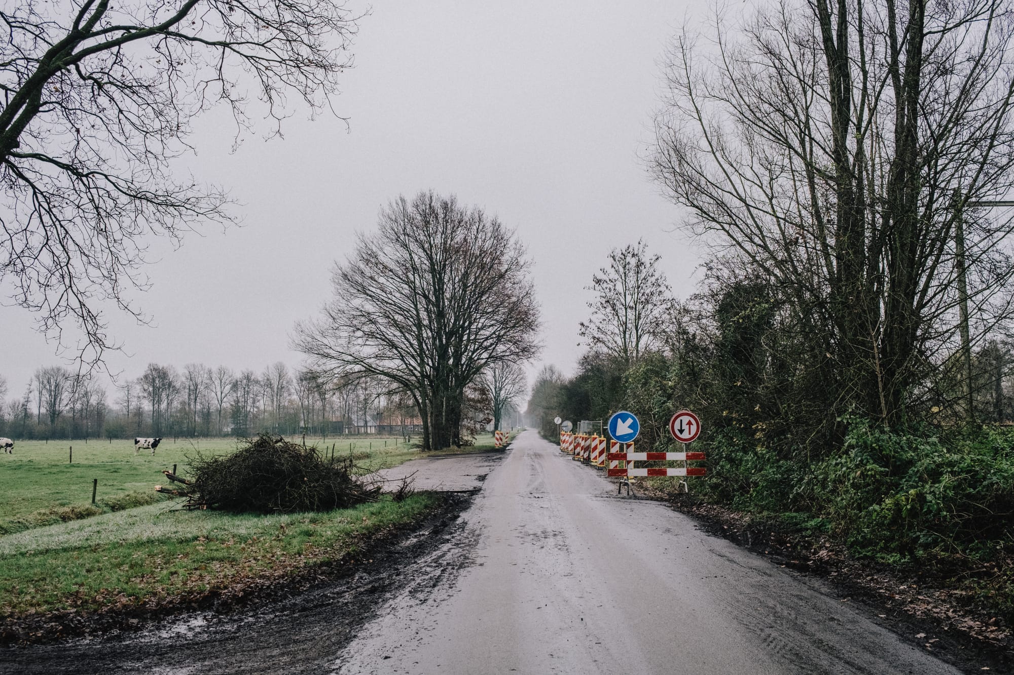
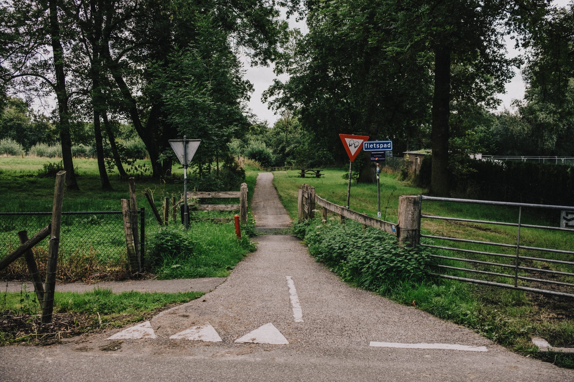
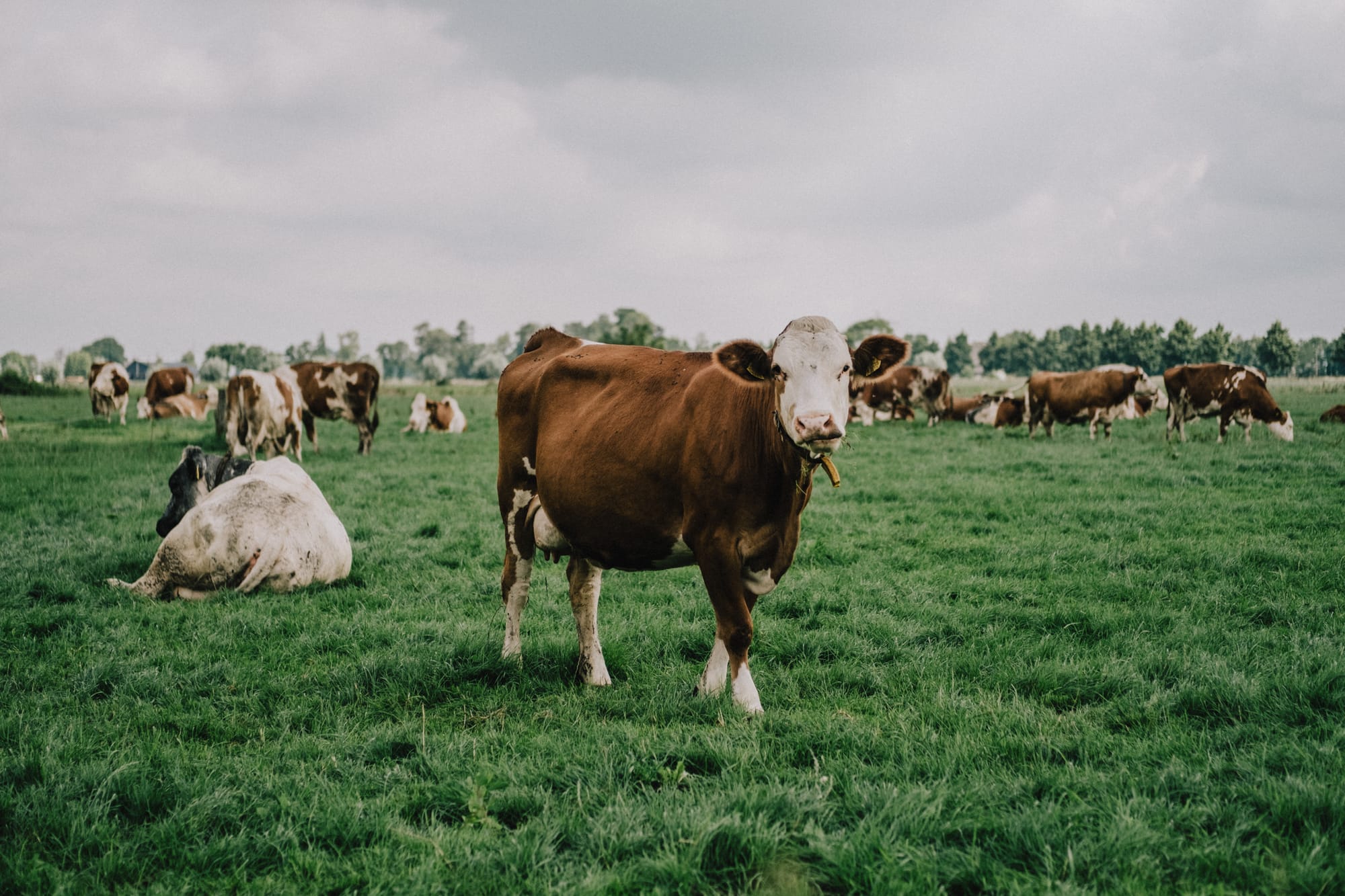
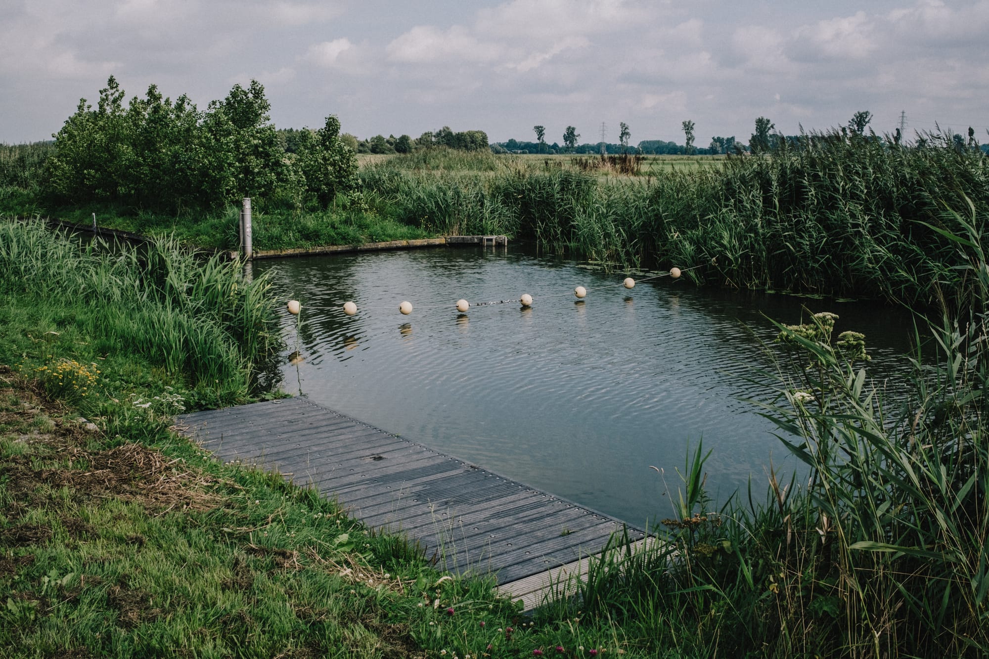
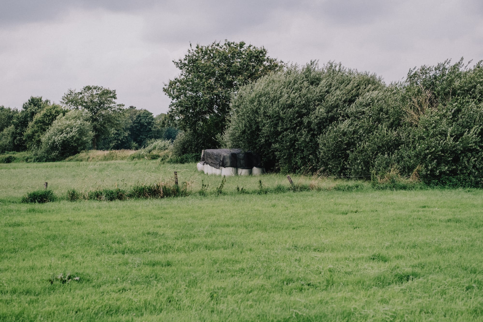
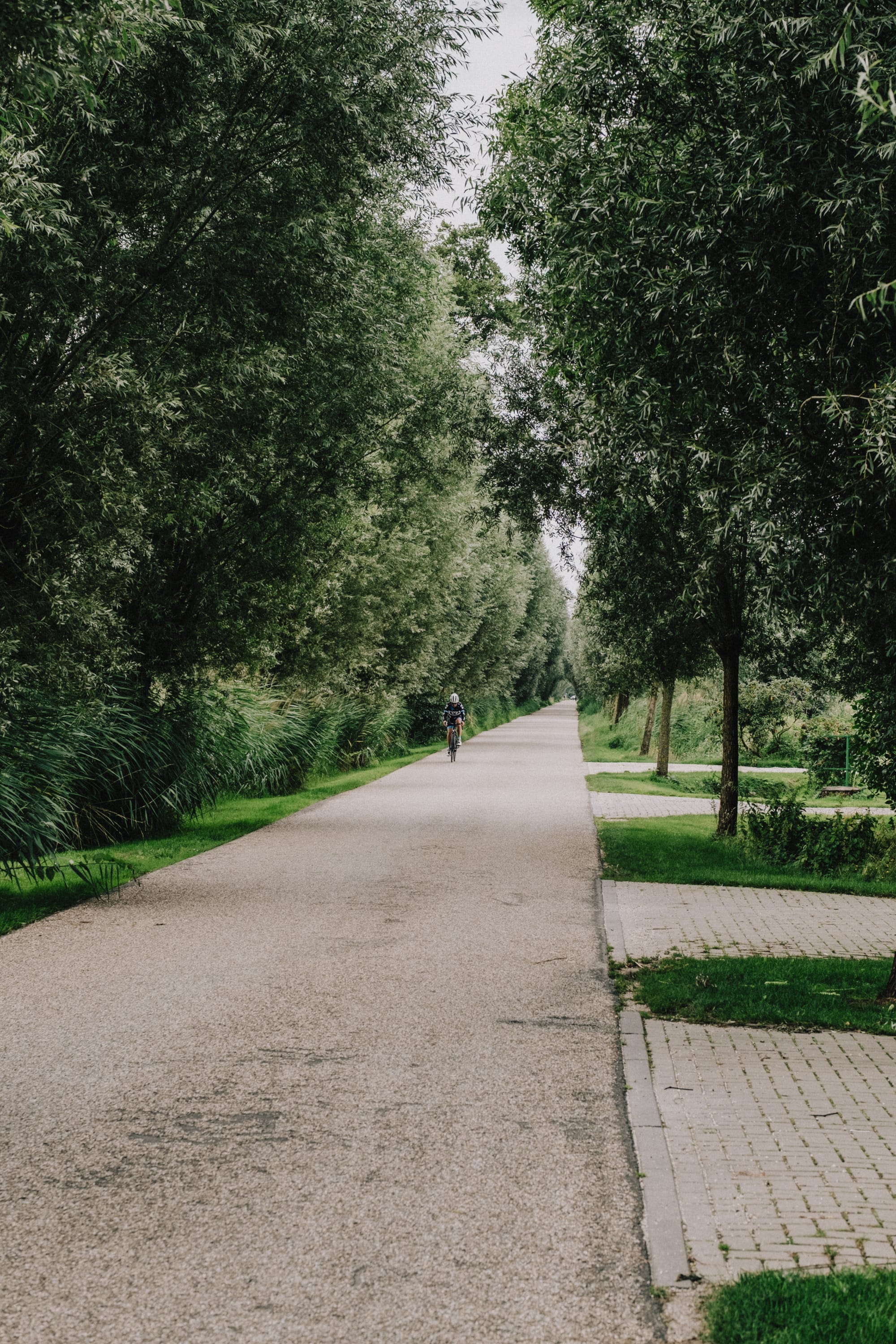
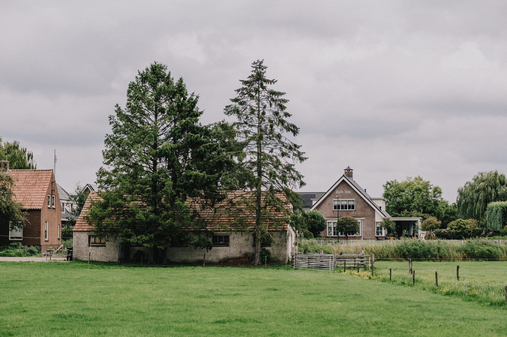
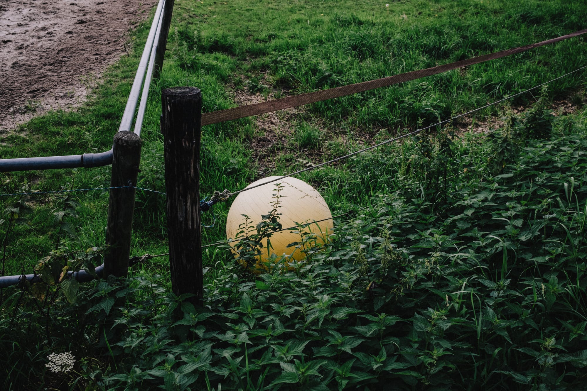
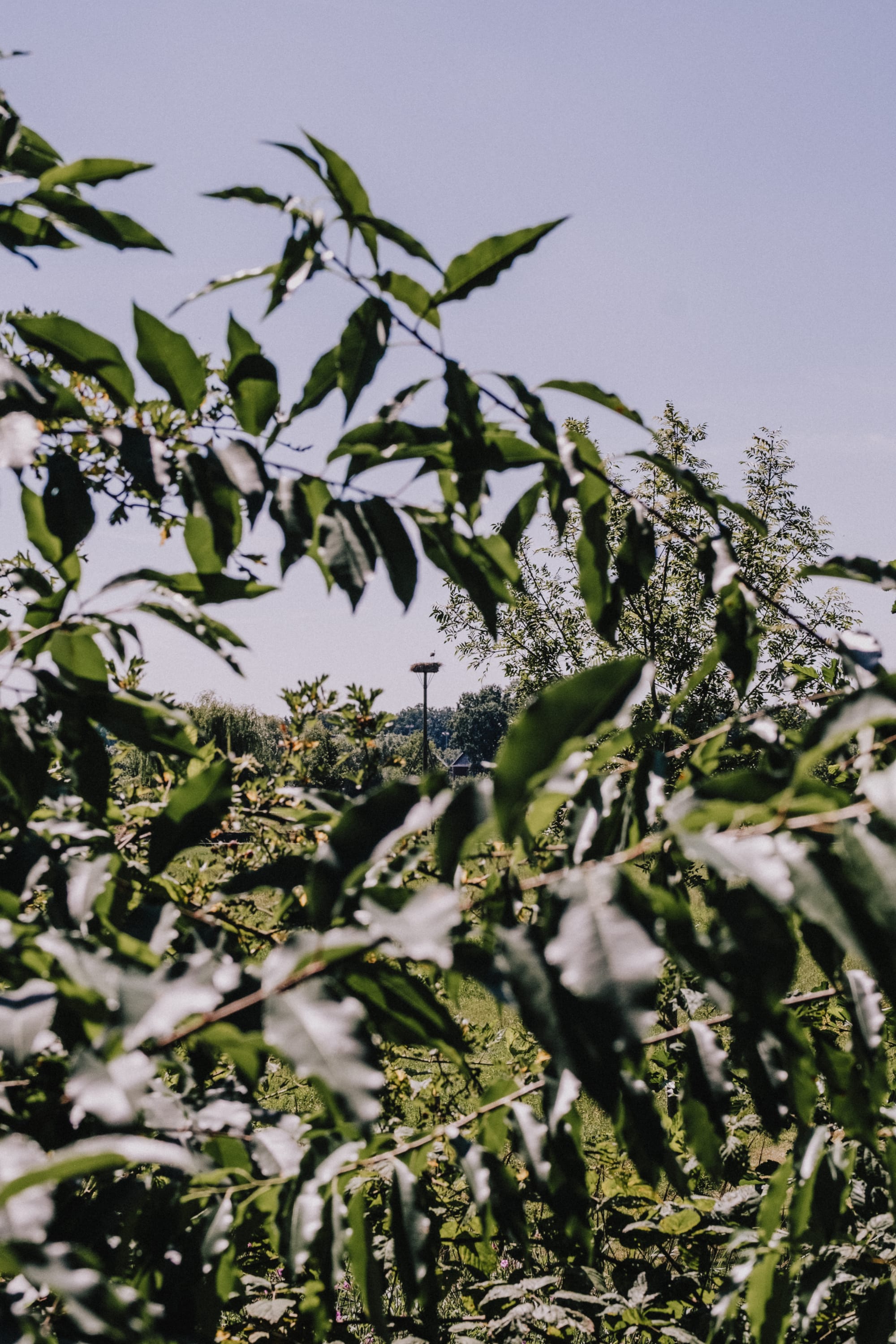
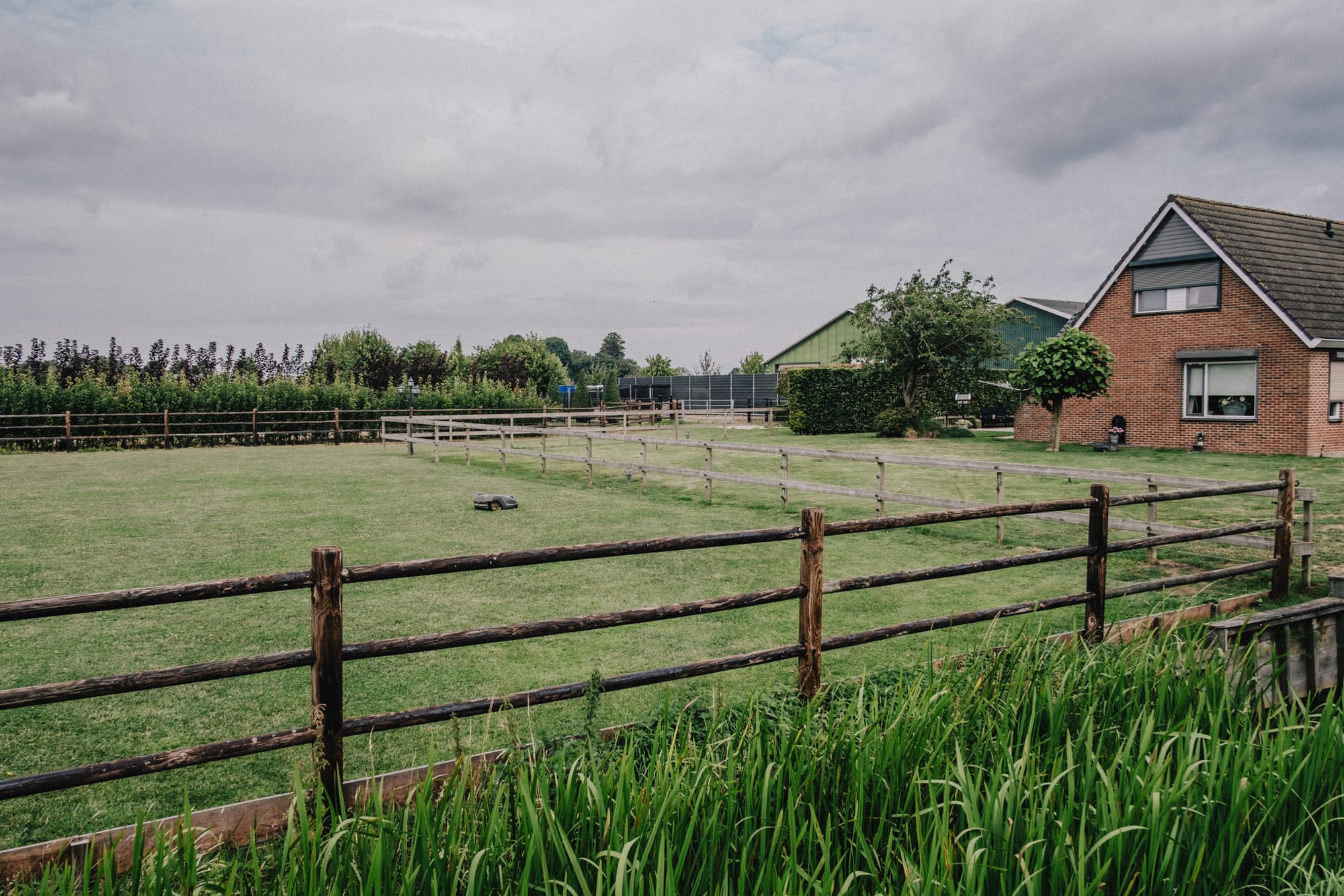
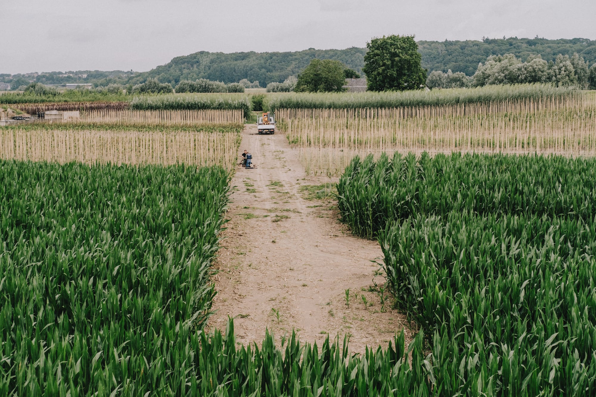
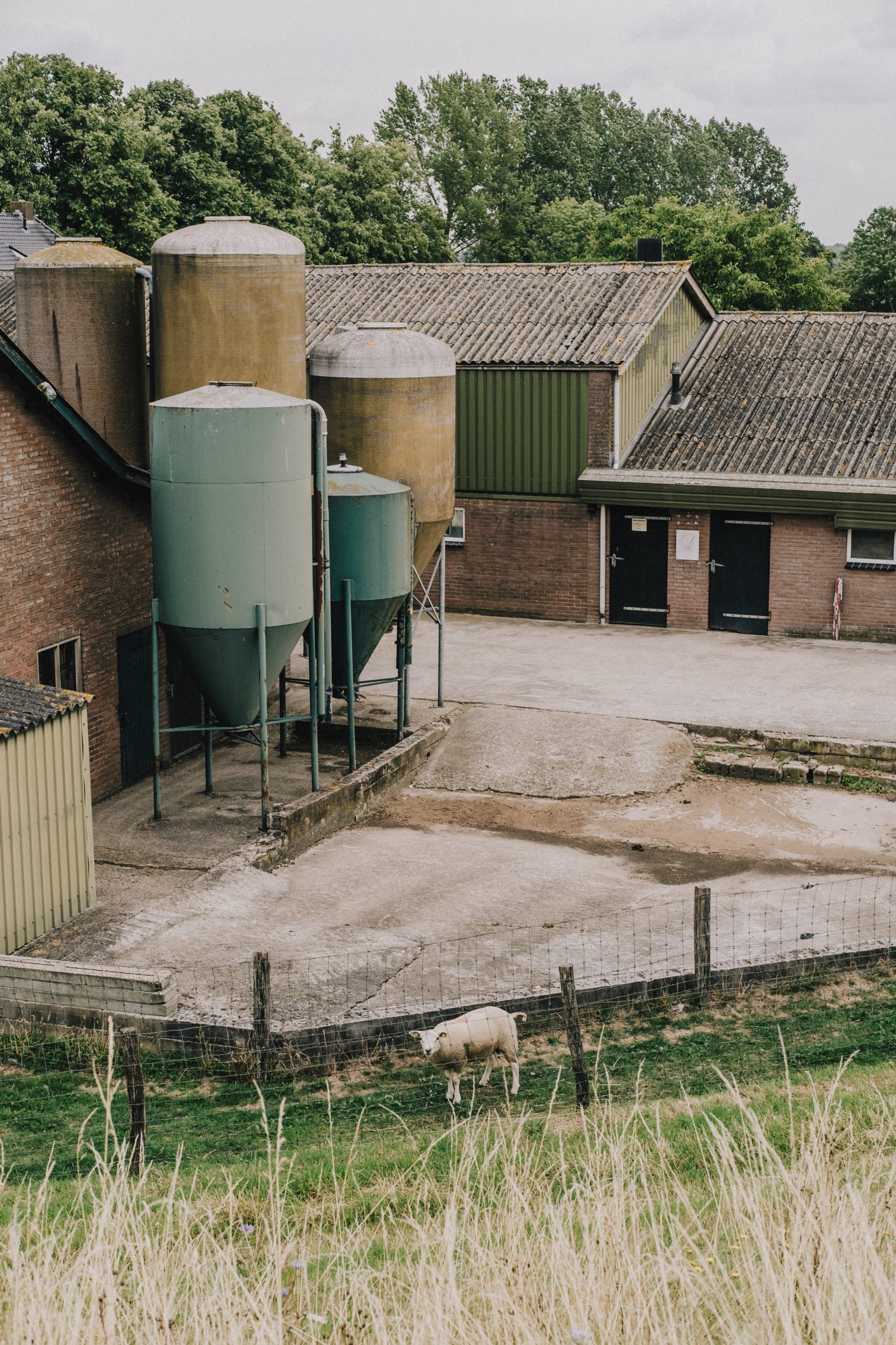
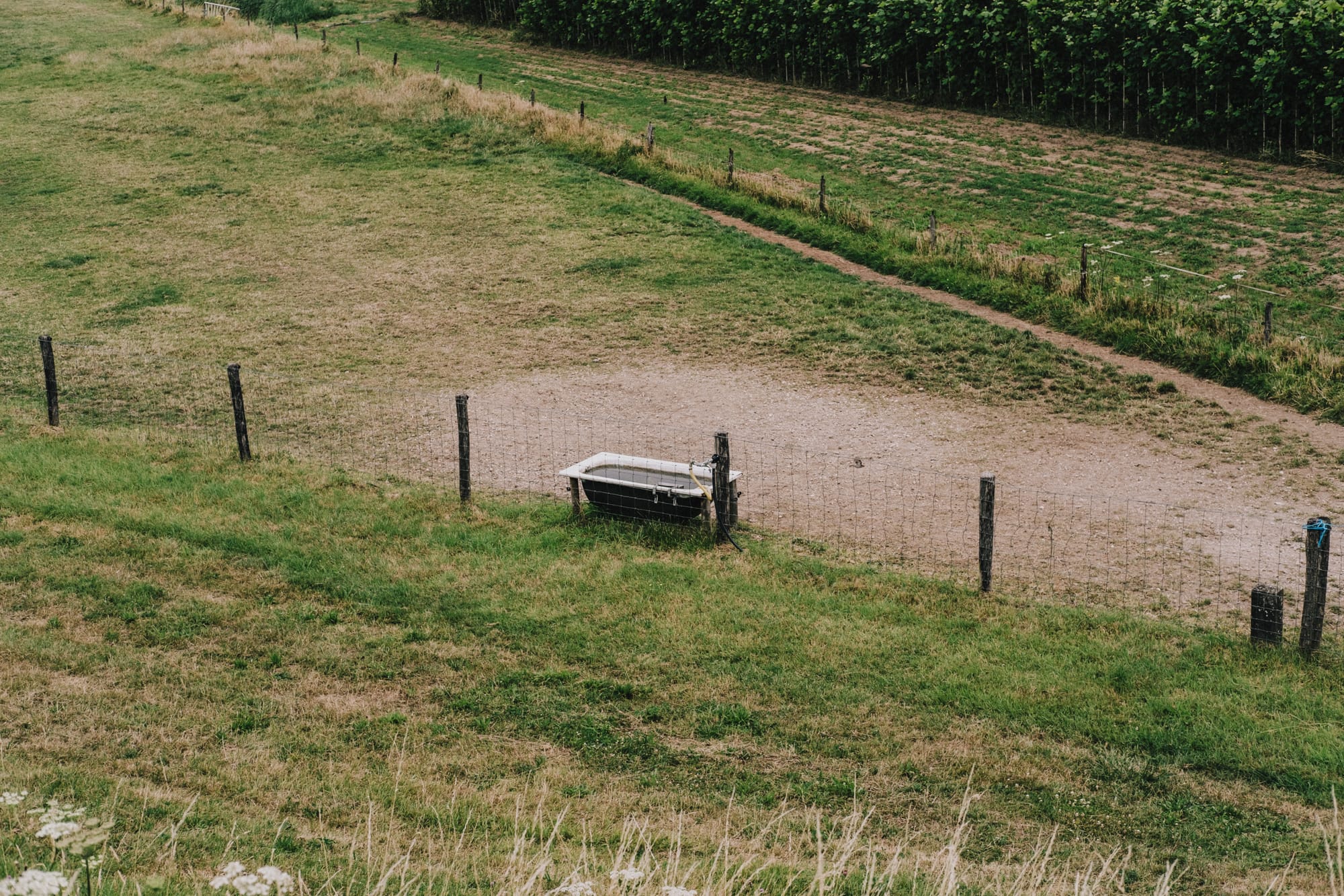
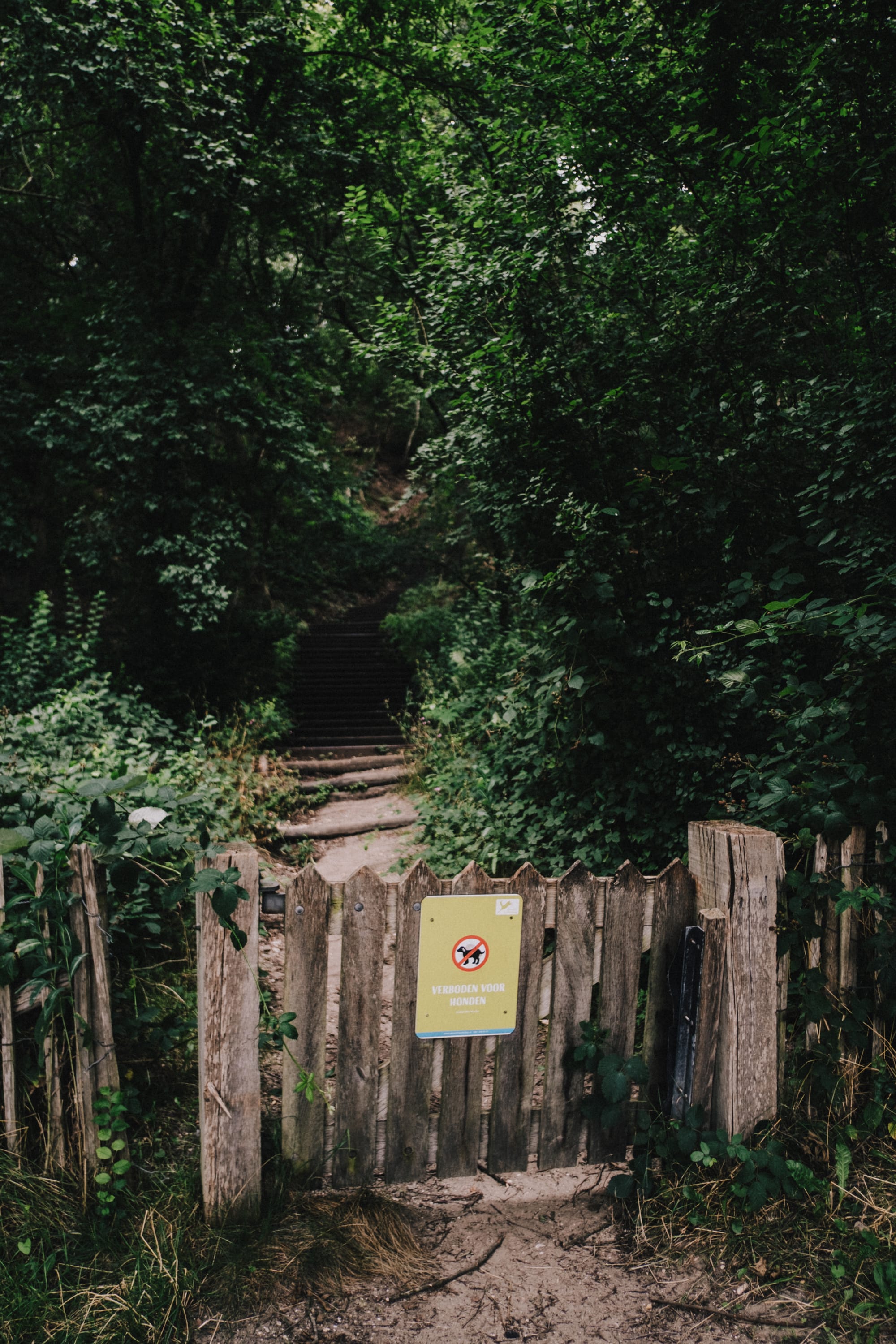
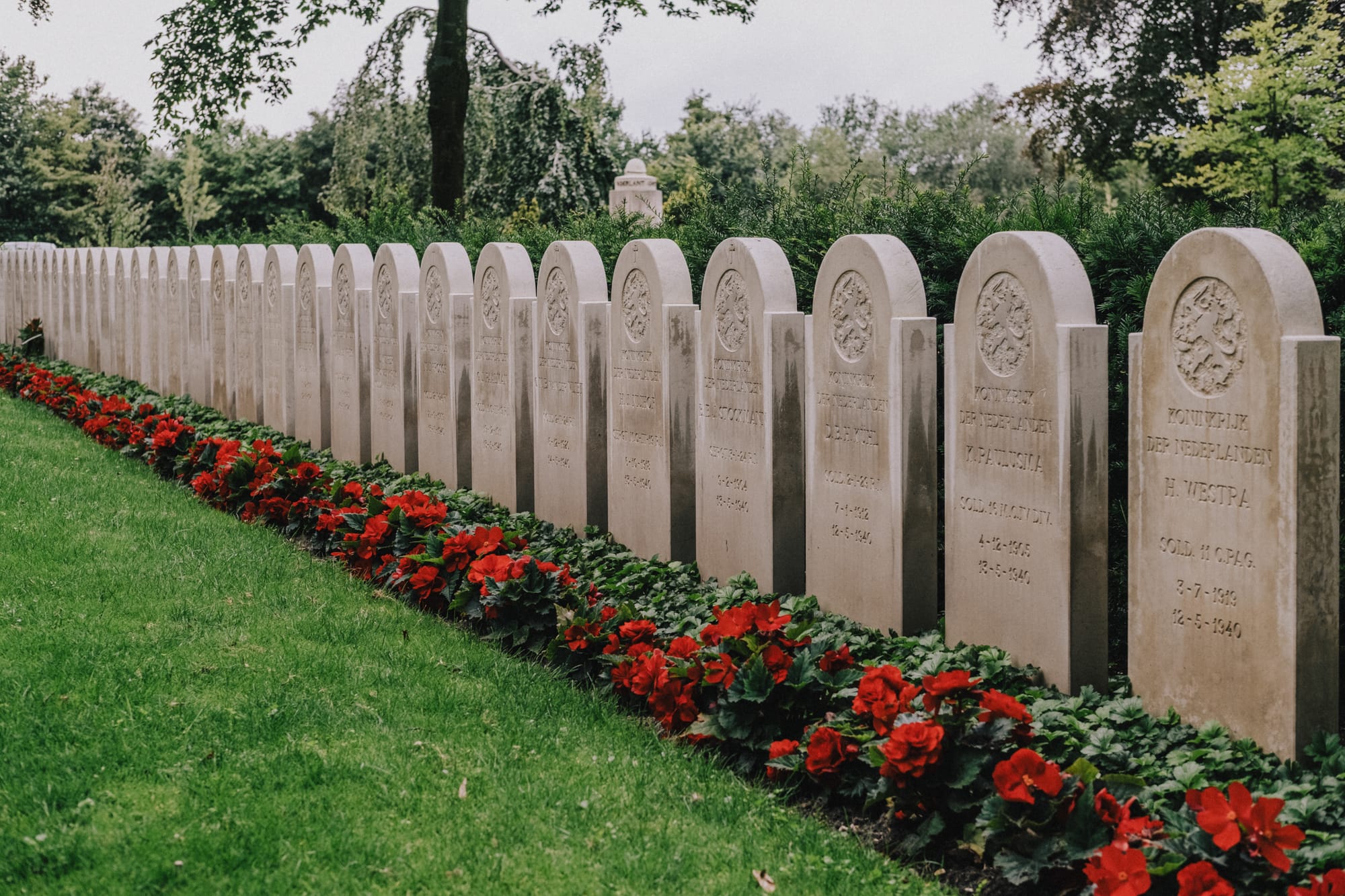
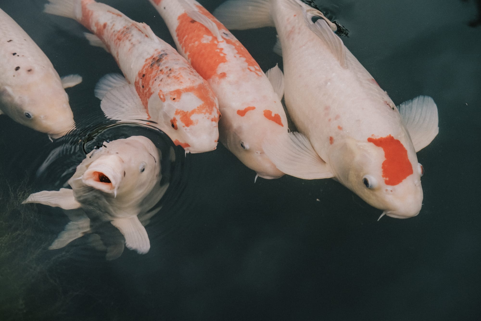
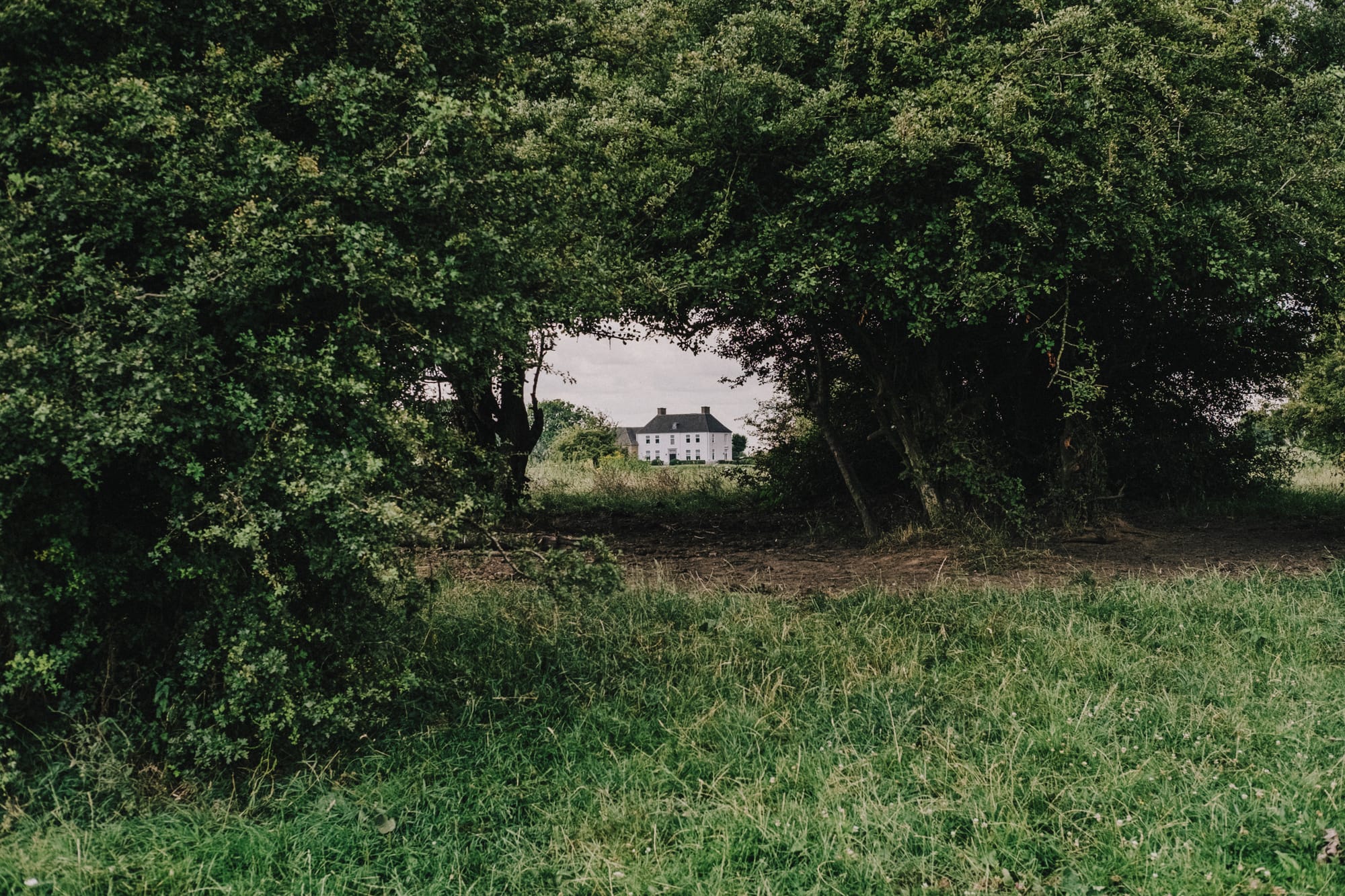
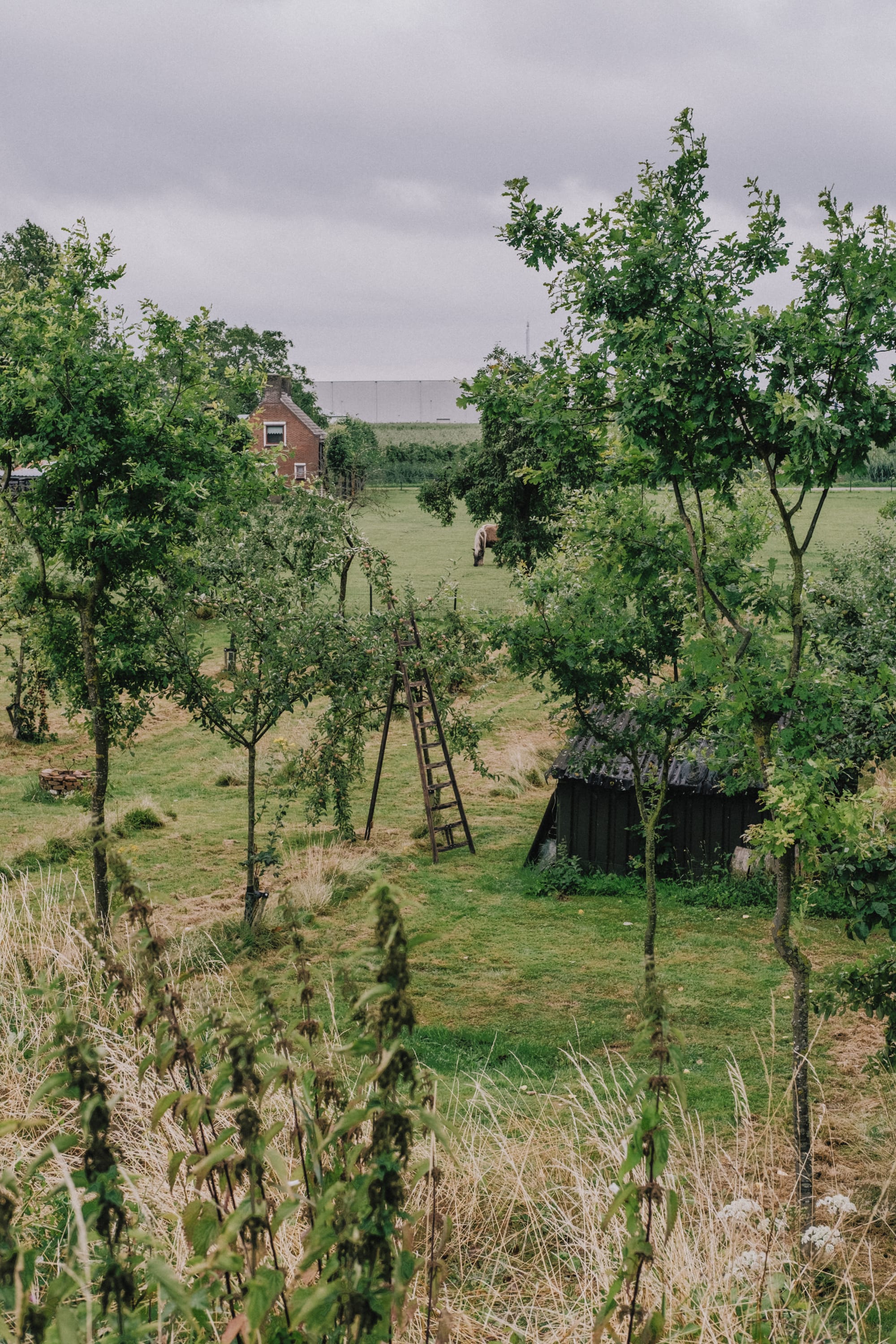
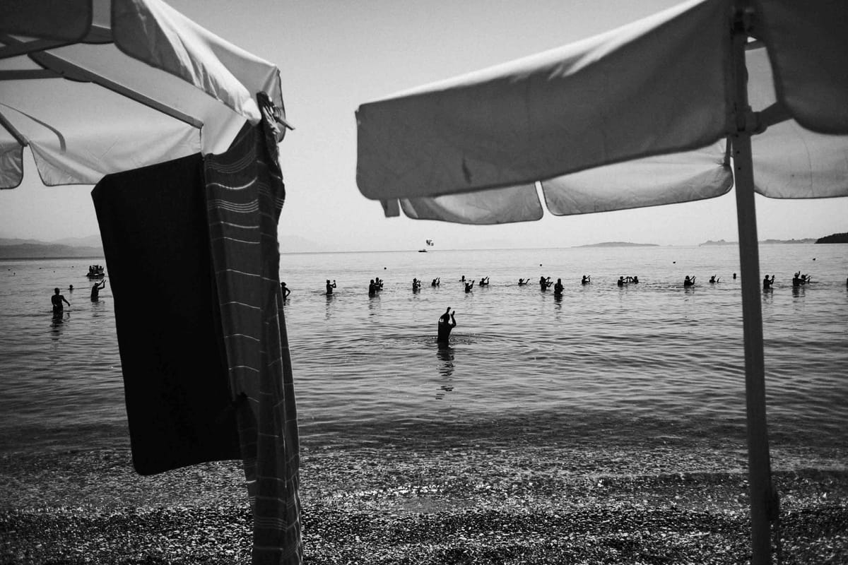
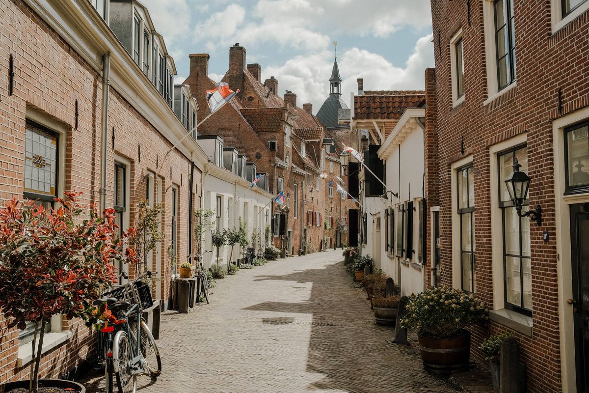
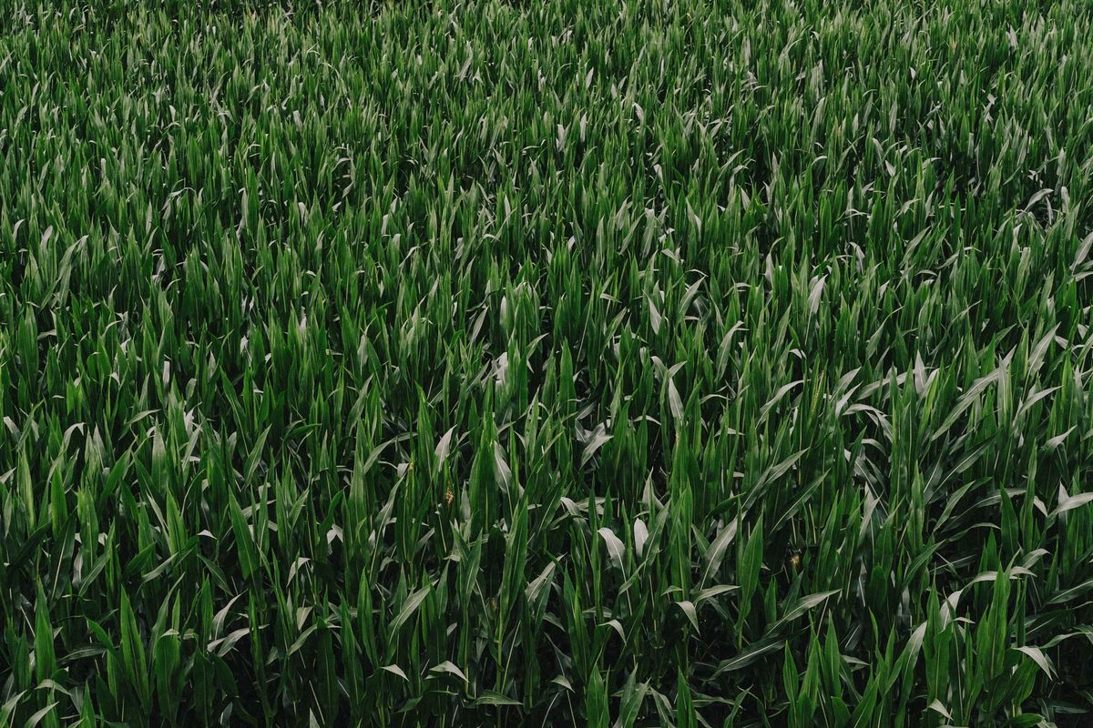
Photo essay
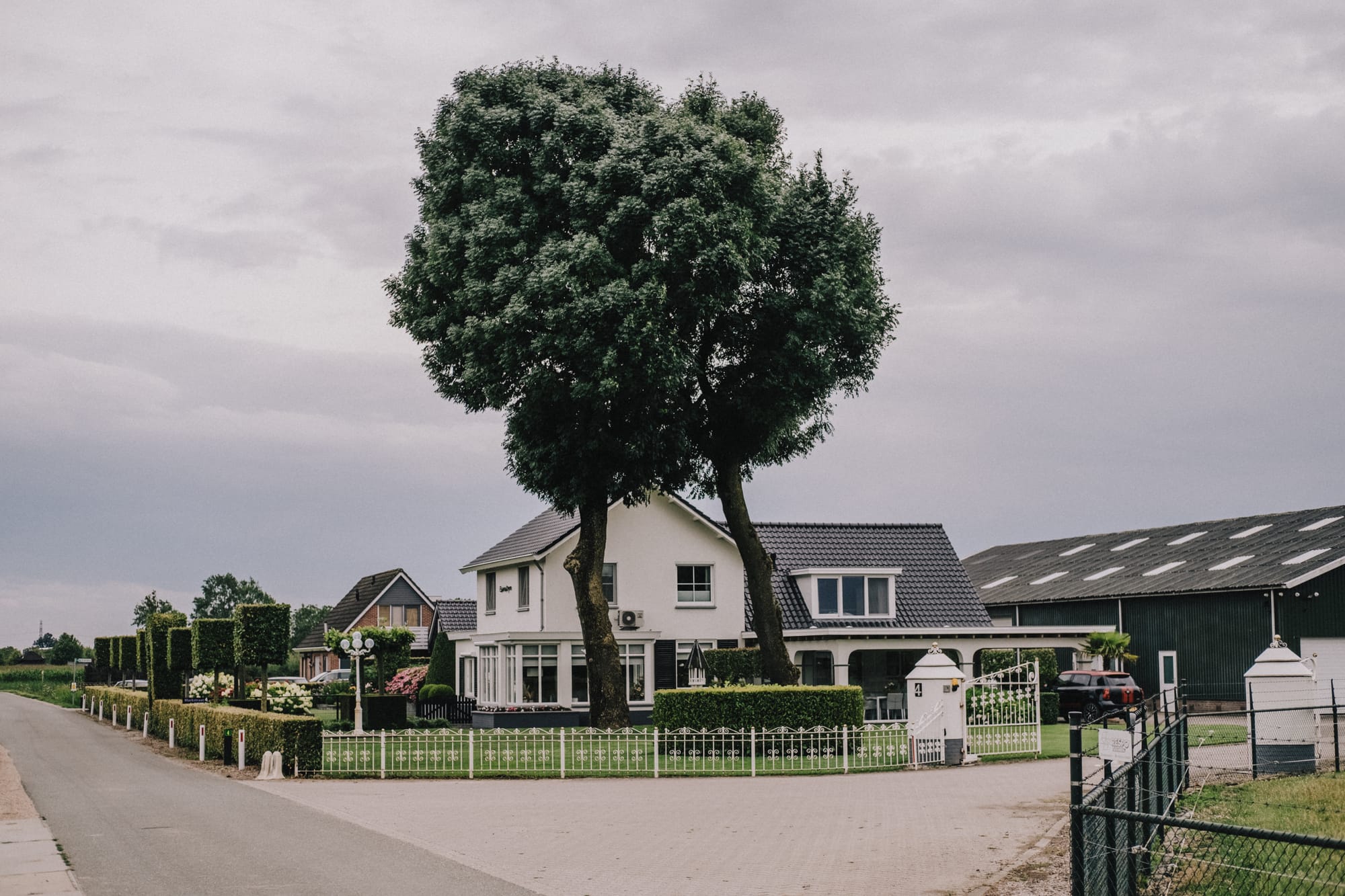
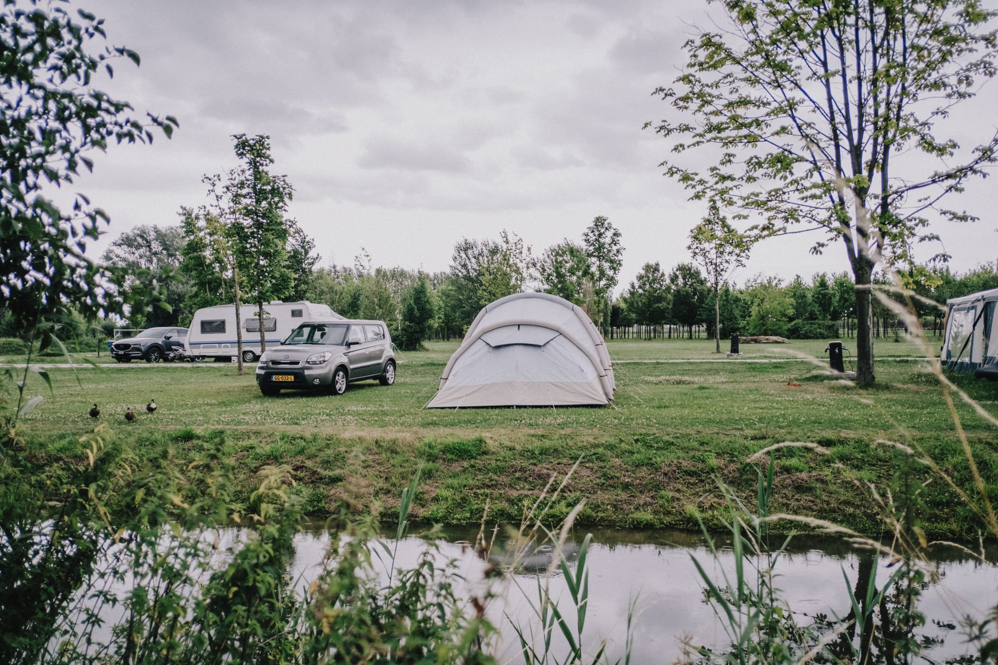
I walked random sections of the route over the course of two years, rather than doing it all from start to finish. So the images aren’t shown in chronological order, but in this sequence you’d see the scenes if you walked the route from north to south (which I believe is the right direction for this walk).
Interestingly, you’ll notice a mix of weather conditions—even in scenes that are close together in real life—because they were photographed at different times, often in very different light (quite literally).
I've taken 4069 images in total. After much culling, 75 of those made it into the final selection. You can find them all below.


References
This walk was previously documented in my other projects 'Monologue' and 'Dialogue'. You can find each instance, some containing some additional images that didn't make the final selection, below:


if you're wondering why I'm doing these walks, this is the one to read.
If you want to see all images that made it through the editing phase, you can view those in the dedicated gallery in my online photography archive: